Large airport · United States
Ellison Onizuka Kona International Airport at KeāholePHKO
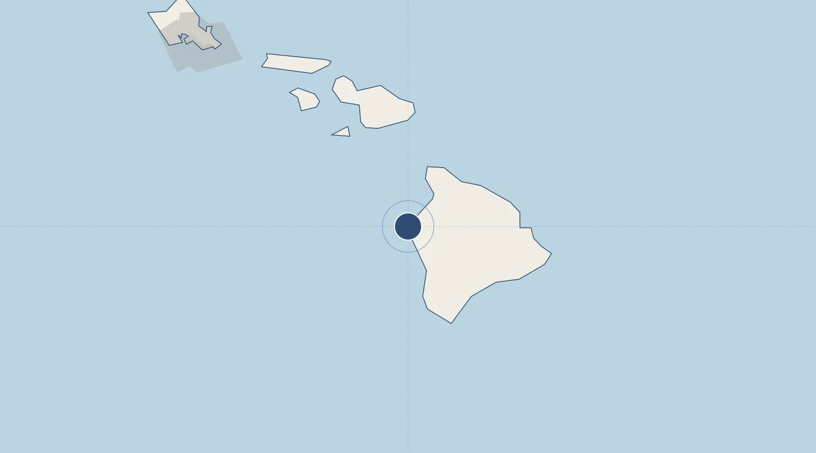
19.7388°, -156.0456°
11,000 ft
Longest runway
1
Runways
47 ft
Elevation
Runway & Layout

Radio Frequencies
ATIS
127.4 MHz
TWR
120.3 MHz
CLD
121.9 MHz
CLNC DEL
CTAF
120.3 MHz
CNTR
126 MHz
HONOLULU CNTR
RCO
123.6 MHz
HONOLULU
Navaids
KOA VORTAC Kona 112.10 MHz
Runways · 1
| Runway | Dimensions | Surface | True heading | Lit |
|---|---|---|---|---|
| 17/35 | 11,000 × 150ft | Asphalt | 185° | ✓ |
Airport Specifications
IATA code
KOA
ICAO code
PHKO
Airport class
Large airport
Scheduled service
Yes
Runway surface
Asphalt
Served city
Kailua-Kona
Location
Nearby Logistics Neighbours
Airports
- 1Waimea Kohala Airport49 km
- 2Hilo International Airport105 km
- 3Hana Airport118 km
- 4Kahului International Airport135 km
- 5Manele Heliport144 km
Cities
- 1Hilo103 km
- 2Ulupalakua107 km
- 3Kihei124 km
- 4Haiku134 km
- 5Kahului136 km
Trade Zones
- 1FTZ No. 009 Honolulu257 km
- 2FTZ No. 003 San Francisco3814 km
- 3FTZ No. 248 Eureka3819 km
- 4FTZ No. 056 Oakland3824 km
- 5FTZ No. 132 Coos County3957 km
DatabookThe Record of Consolidated Knowledge
United States beyond logistics?