Transport Functions
Port
Airport
Hub Profile
Place type
Provincial seat
Region
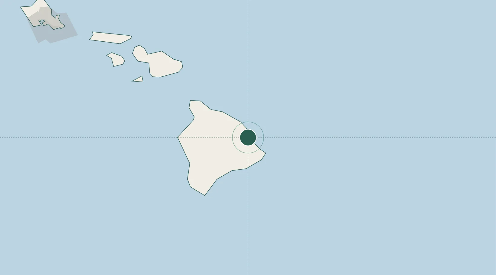
Hawaii
Population
43,263
Time zone
Pacific/Honolulu
Elevation
18 m
Logistics facilities
3
Location
Nearby Logistics Neighbours
Cities
- 1Ulupalakua172 km
- 2Haiku186 km
- 3Kihei186 km
- 4Kahului195 km
- 5Kailua334 km
Airports
Trade Zones
- 1FTZ No. 009 Honolulu340 km
- 2FTZ No. 003 San Francisco3735 km
- 3FTZ No. 056 Oakland3745 km
- 4FTZ No. 248 Eureka3747 km
- 5FTZ No. 132 Coos County3891 km
DatabookThe Record of Consolidated Knowledge
United States beyond logistics?