Medium airport · United States
Hilo International AirportPHTO
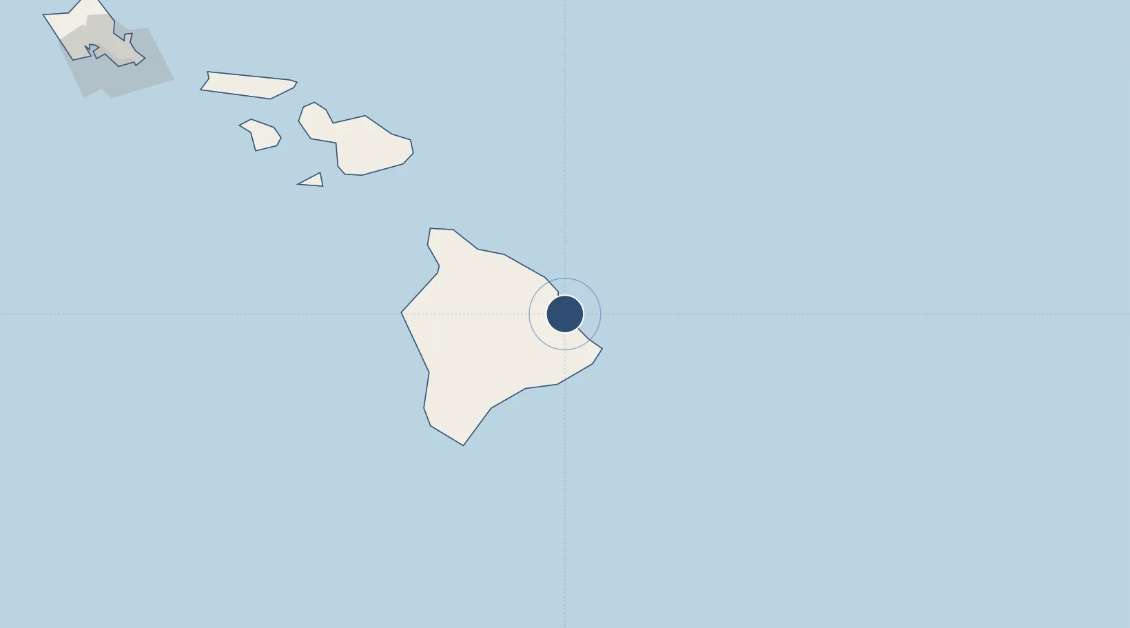
19.7214°, -155.0454°
9,800 ft
Longest runway
2
Runways
38 ft
Elevation
Runway & Layout

Radio Frequencies
ATIS
126.4 MHz
TWR
118.1 MHz
GND
121.9 MHz
CTAF
118.1 MHz
A/D
119.7 MHz
APP/DEP
RDO
122.6 MHz
HONOLULU RDO
Navaids
ITO VORTAC Hilo 116.90 MHz
POA NDB Pahoa 332 kHz
Runways · 2
| Runway | Dimensions | Surface | True heading | Lit |
|---|---|---|---|---|
| 08/26 | 9,800 × 150ft | Asphalt | 090° | ✓ |
| 03/21 | 5,600 × 150ft | Asphalt | 041° | ✓ |
Airport Specifications
IATA code
ITO
ICAO code
PHTO
Airport class
Medium airport
Scheduled service
Yes
Runway surface
Asphalt
Served city
Hilo
Location
Nearby Logistics Neighbours
Airports
- 1Waimea Kohala Airport72 km
- 2Ellison Onizuka Kona International Airport at Keāhole105 km
- 3Hana Airport157 km
- 4Kahului International Airport195 km
- 5Kapalua Airport219 km
Cities
- 1Hilo2 km
- 2Ulupalakua174 km
- 3Haiku188 km
- 4Kihei188 km
- 5Kahului197 km
Trade Zones
- 1FTZ No. 009 Honolulu342 km
- 2FTZ No. 003 San Francisco3734 km
- 3FTZ No. 056 Oakland3744 km
- 4FTZ No. 248 Eureka3746 km
- 5FTZ No. 132 Coos County3890 km
DatabookThe Record of Consolidated Knowledge
United States beyond logistics?