Medium airport · United States

Waimea Kohala AirportPHMU

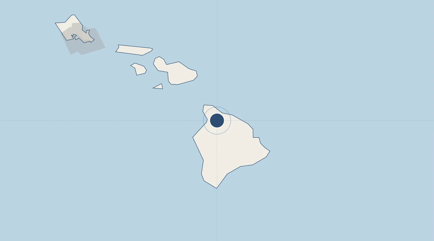
20.0013°, -155.6680°
5,197 ft
Longest runway
1
Runways
2,671 ft
Elevation

Runway & Layout

Waimea Kohala Airport runway & taxiway layout
Runway & taxiway layout — OpenStreetMap (ODbL) / OurAirports

Radio Frequencies

CTAF
122.9 MHz
CNTR
126 MHz
HONOLULU CNTR
RDO
122.1 MHz
HONOLULU
OurAirports

Navaids

MUE VOR-DME Kamuela 113.30 MHz
OurAirports

Runways · 1

RunwayDimensions SurfaceTrue headingLit
04/22 5,197 × 100ft Asphalt 052°
OurAirports

Airport Specifications

IATA code
MUE
OurAirports
ICAO code
PHMU
OurAirports
Airport class
Medium airport
OurAirports
Scheduled service
Yes
OurAirports
Runway surface
Asphalt
OurAirports
Served city
Waimea (Kamuela)
OurAirports

Location

Location of PHMU
Natural Earth 10m (public domain) · Hawaii · PHMU · 20.00, -155.67GoogleOSMYandex

Nearby Logistics Neighbours

Airports
  1. 1Ellison Onizuka Kona International Airport at Keāhole49 km
  2. 2Hilo International Airport72 km
  3. 3Hana Airport95 km
  4. 4Kahului International Airport127 km
  5. 5Kapalua Airport150 km
Nearest neighbours — logibook spatial index (haversine) over the source coordinates
Cities
  1. 1Hilo70 km
  2. 2Ulupalakua104 km
  3. 3Kihei119 km
  4. 4Haiku122 km
  5. 5Kahului130 km
Nearest neighbours — logibook spatial index (haversine) over the source coordinates
Ports
  1. 1Kawaihae18 km
  2. 2Kailua54 km
  3. 3Hilo70 km
  4. 4Hana90 km
  5. 5Kahului130 km
Nearest neighbours — logibook spatial index (haversine) over the source coordinates
Trade Zones
  1. 1FTZ No. 009 Honolulu270 km
  2. 2FTZ No. 003 San Francisco3765 km
  3. 3FTZ No. 248 Eureka3770 km
  4. 4FTZ No. 056 Oakland3775 km
  5. 5FTZ No. 132 Coos County3909 km
Nearest neighbours — logibook spatial index (haversine) over the source coordinates
DatabookThe Record of Consolidated Knowledge
United States beyond logistics?
Browse databook

All Sources

AirportsOurAirports
Public domain
Portsthe NGA World Port Index
Public domain (US gov)
LocationsUN/LOCODE
UN/LOCODE — free
Trade Zonesthe World Bank SEZ database
CC BY 4.0
Trade ZonesOpen Zone Map
CC BY
InfrastructureOpenStreetMap
ODbL 1.0
← United States airports