Channel & Berth Profile
Pilotage, Tugs & Services
Pilotage availableYES
Potable waterYES
Facilities & Capabilities
Container—
Ro-Ro—
Liquid bulk—
Dry bulk—
Oil terminal—
Break bulk—
Dry dock—
RepairsNO
Bunkering—
Rail link—
Dangerous cargo—
ISPS security—
Harbour Specifications
Harbour size
Very Small
Harbour type
Coastal (Natural)
Shelter
Good
Water body
Alaska-Canada coastal waters; North Pacific Ocean
Tidal range
2.7 m
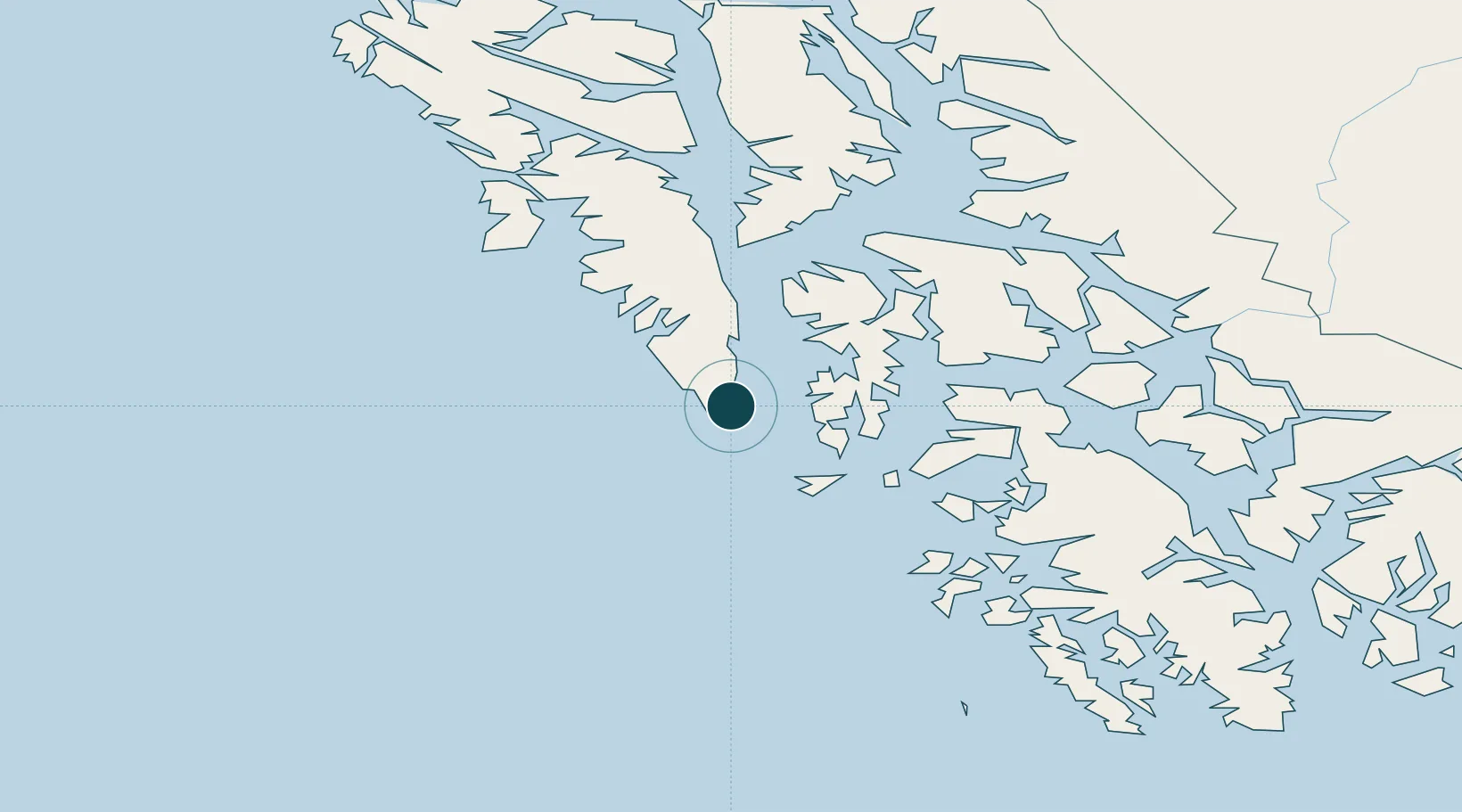
Location
Nearby Logistics Neighbours
Ports
- 1Port Armstrong6 km
- 2Little Port Walter15 km
- 3Big Port Walter16 km
- 4Washington Bay57 km
- 5Kake91 km
Cities
- 1Tyee89 km
- 2Neets Bay197 km
- 3Ward Cove206 km
- 4Ketchikan211 km
- 5Metlakatla230 km
Airports
- 1Port Alexander Seaplane Base0 km
- 2Point Baker Seaplane Base64 km
- 3Port Protection Seaplane Base65 km
- 4Edna Bay Seaplane Base70 km
- 5Kake Airport91 km
Trade Zones
- 1PrInce George Logistics Park799 km
- 2FTZ No. 108 Valdez865 km
- 3FTZ Vancouver Island1097 km
- 4FTZ No. 128 Whatcom County1160 km
- 5FTZ No. 129 Bellingham1166 km
DatabookThe Record of Consolidated Knowledge
United States beyond logistics?