Seaplane base · United States
Port Alexander Seaplane BasePAAP
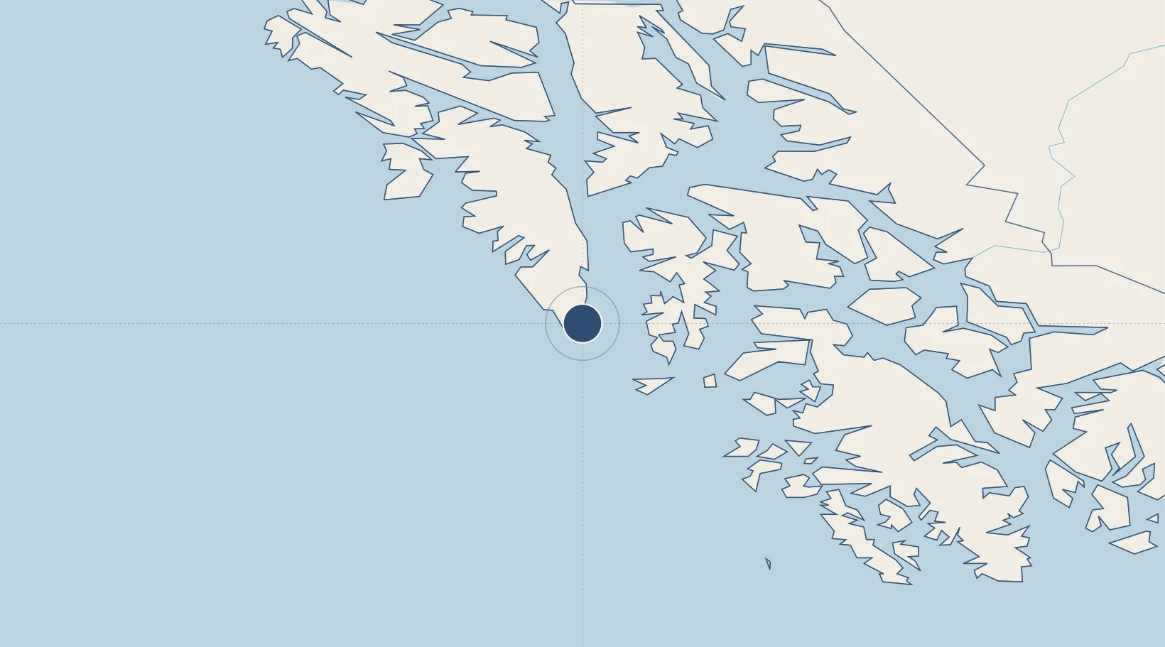
56.2468°, -134.6480°
3,000 ft
Longest runway
1
Runways
Runway & Layout
Runways · 1
| Runway | Dimensions | Surface | True heading | Lit |
|---|---|---|---|---|
| N/S | 3,000 × 300ft | Water | — | — |
Airport Specifications
IATA code
PTD
ICAO code
PAAP
Airport class
Seaplane base
Scheduled service
Yes
Runway surface
Water
Served city
Port Alexander
Location
Nearby Logistics Neighbours
Airports
- 1Point Baker Seaplane Base64 km
- 2Port Protection Seaplane Base65 km
- 3Edna Bay Seaplane Base70 km
- 4Kake Airport91 km
- 5Kake Seaplane Base92 km
Cities
- 1Tyee90 km
- 2Neets Bay196 km
- 3Ward Cove206 km
- 4Ketchikan211 km
- 5Metlakatla230 km
Ports
- 1Port Alexander0 km
- 2Port Armstrong6 km
- 3Little Port Walter15 km
- 4Big Port Walter16 km
- 5Washington Bay57 km
Trade Zones
- 1PrInce George Logistics Park799 km
- 2FTZ No. 108 Valdez866 km
- 3FTZ Vancouver Island1097 km
- 4FTZ No. 128 Whatcom County1160 km
- 5FTZ No. 129 Bellingham1166 km
DatabookThe Record of Consolidated Knowledge
United States beyond logistics?