Channel & Berth Profile
Pilotage, Tugs & Services
Pilotage availableYES
Shore powerNO
Potable waterYES
Diesel bunkersYES
MedicalNO
Garbage disposalNO
Facilities & Capabilities
Container—
Ro-Ro—
Liquid bulk—
Dry bulk—
Oil terminal—
Break bulk—
Dry dock—
Repairs—
BunkeringNO
Rail link—
Dangerous cargo—
ISPS security—
Harbour Specifications
Harbour size
Very Small
Harbour type
Coastal (Natural)
Shelter
Good
Water body
Cook Inlet; Gulf of Alaska; North Pacific Ocean
Tidal range
4.3 m
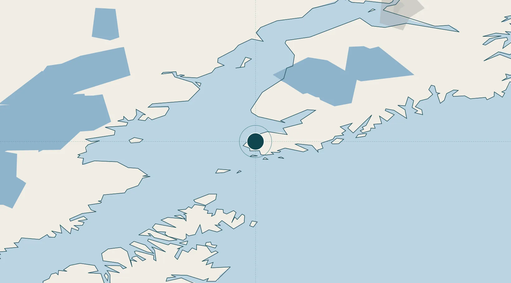
Location
Nearby Logistics Neighbours
Ports
- 1Seldovia10 km
- 2Homer36 km
- 3Ninilchik78 km
- 4Port William106 km
- 5Drift River135 km
Cities
- 1Jakolof Bay20 km
- 2Afognak160 km
- 3Anchorage235 km
- 4Port MacKenzie237 km
- 5Elmendorf Air Force Base239 km
Airports
- 1Port Graham Airport1 km
- 2Nanwalek Airport6 km
- 3Seldovia Airport12 km
- 4Homer Airport38 km
- 5Port Williams Seaplane Base105 km
Trade Zones
- 1FTZ No. 232 Kodiak235 km
- 2FTZ No. 160 Anchorage235 km
- 3FTZ No. 108 Valdez360 km
- 4FTZ No. 195 Fairbanks647 km
- 5PrInce George Logistics Park1860 km
DatabookThe Record of Consolidated Knowledge
United States beyond logistics?