Medium airport · United States
Treasure Coast International AirportKFPR
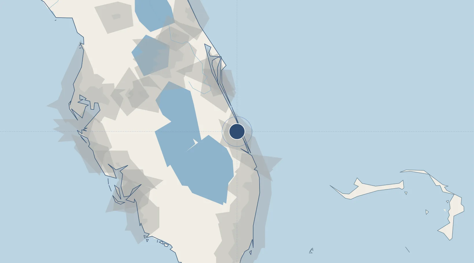
27.4951°, -80.3683°
6,492 ft
Longest runway
2
Runways
24 ft
Elevation
Runway & Layout

Radio Frequencies
ATIS
134.825 MHz
TWR
128.2 MHz
FORT PIERCE TWR
GND
119.55 MHz
CTAF
128.2 MHz
CNTR
132.25 MHz
MIAMI CNTR
RDO
122.55 MHz
MIAMI RDO
Navaids
FJ NDB Luuce 338 kHz
FPR NDB Fort Pierce 275 kHz
Runways · 2
| Runway | Dimensions | Surface | True heading | Lit |
|---|---|---|---|---|
| 10R/28L | 6,492 × 150ft | Asphalt | 090° | ✓ |
| 14/32 | 4,755 × 100ft | Asphalt | 135° | ✓ |
Airport Specifications
IATA code
FPR
ICAO code
KFPR
Airport class
Medium airport
Scheduled service
No
Runway surface
Asphalt
Served city
Fort Pierce
Location
Nearby Logistics Neighbours
Airports
Cities
- 1Saint Lucie4 km
- 2Fort Pierce7 km
- 3Fellsmere38 km
- 4Palm City38 km
- 5Malabar59 km
Ports
- 1Fort Pierce6 km
- 2Palm Beach87 km
- 3Canaveral Harbor136 km
- 4Port Everglades157 km
- 5Freeport191 km
Trade Zones
- 1FTZ No. 218 St. Lucie County22 km
- 2FTZ No. 135 Palm Beach County86 km
- 3FTZ No. 215 Sebring114 km
- 4FTZ No. 136 Brevard County125 km
- 5FTZ No. 241 Fort Lauderdale145 km
DatabookThe Record of Consolidated Knowledge
United States beyond logistics?