Medium airport · United States
Melbourne Orlando International AirportKMLB
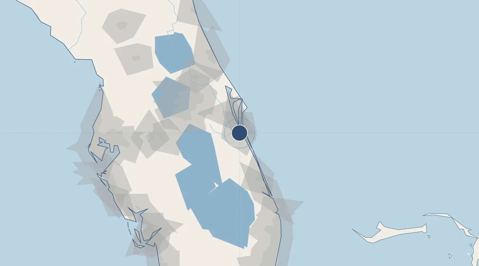
28.1020°, -80.6411°
10,181 ft
Longest runway
3
Runways
33 ft
Elevation
Runway & Layout

Radio Frequencies
ATIS
132.55 MHz
TWR
118.2 MHz
GND
121.9 MHz
CLD
121.9 MHz
CLNC DEL
CTAF
118.2 MHz
A/D
132.65 MHz
ORLANDO APP/DEP
OPS
123.2 MHz
GRUMMAN OPS
RDO
122.6 MHz
ST PETERSBURG RDO
UNIC
122.95 MHz
UNICOM
Navaids
MLB VOR-DME Melbourne 110.00 MHz
SQT NDB Satellite 257 kHz
Runways · 3
| Runway | Dimensions | Surface | True heading | Lit |
|---|---|---|---|---|
| 09R/27L | 10,181 × 150ft | Asphalt | 087° | ✓ |
| 09L/27R | 6,000 × 150ft | Asphalt | 087° | ✓ |
| 05/23 | 3,001 × 75ft | Asphalt | 042° | ✓ |
Airport Specifications
IATA code
MLB
ICAO code
KMLB
Airport class
Medium airport
Scheduled service
Yes
Runway surface
Asphalt
Served city
Melbourne
Location
Nearby Logistics Neighbours
Airports
Cities
- 1Indian Harbour Beach7 km
- 2Indialantic8 km
- 3Malabar14 km
- 4Cocoa Beach24 km
- 5Port Canaveral34 km
Ports
- 1Canaveral Harbor67 km
- 2Fort Pierce78 km
- 3Palm Beach160 km
- 4Tampa179 km
- 5Port Manatee196 km
Trade Zones
- 1FTZ No. 136 Brevard County64 km
- 2FTZ No. 218 St. Lucie County81 km
- 3FTZ No. 042 Orlando95 km
- 4FTZ No. 250 Seminole County101 km
- 5FTZ No. 215 Sebring112 km
DatabookThe Record of Consolidated Knowledge
United States beyond logistics?