UN/LOCODE hub · United States
USFEL
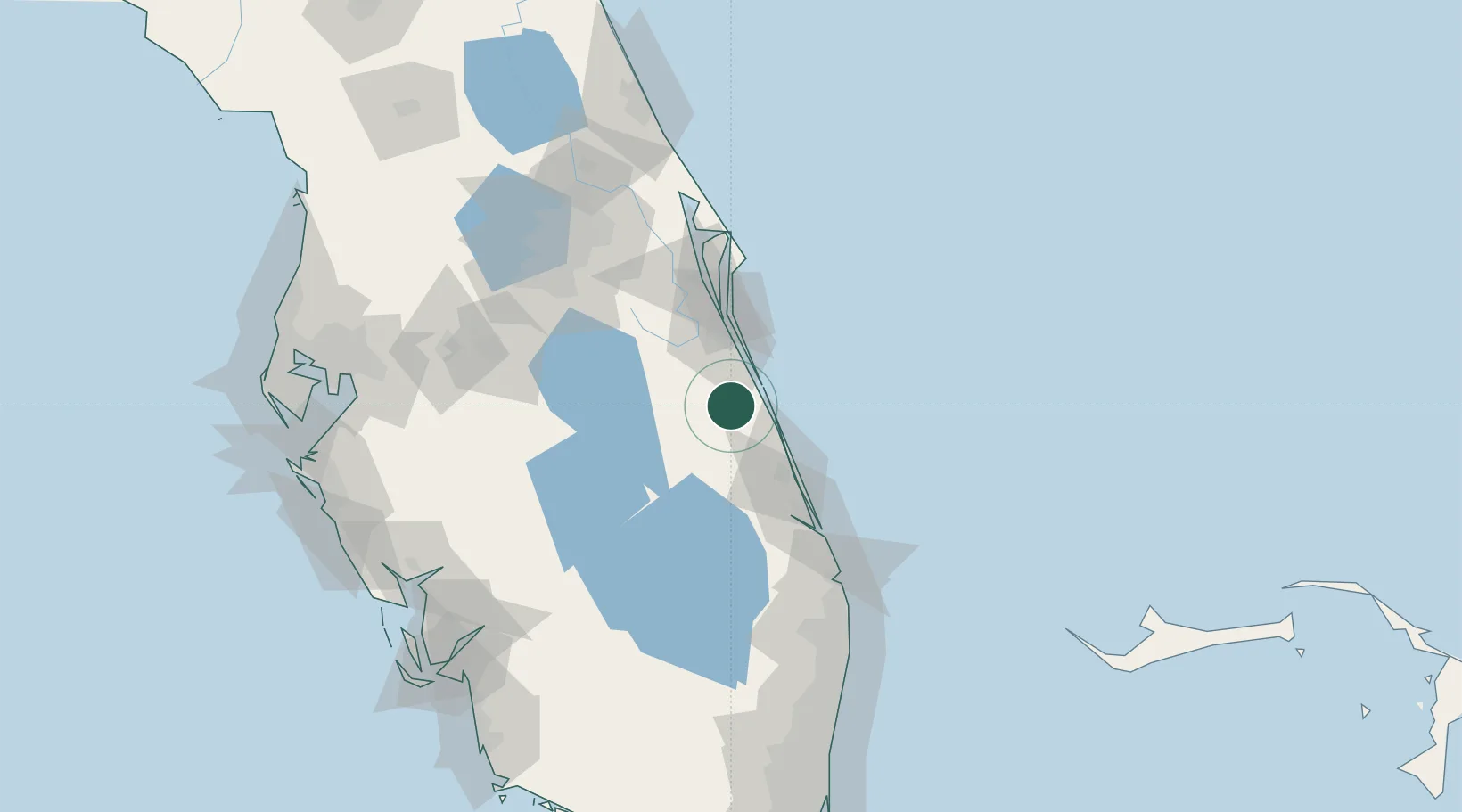
Fellsmere
27.7667°, -80.6000°
5,514
Population
2
Transport functions
Transport Functions
Port
Road
Hub Profile
Place type
Populated place
Region
Florida
Population
5,514
Time zone
America/New_York
Elevation
7 m
Location
Nearby Logistics Neighbours
Cities
- 1Malabar26 km
- 2Indialantic35 km
- 3Indian Harbour Beach41 km
- 4Saint Lucie41 km
- 5Fort Pierce43 km
Ports
- 1Fort Pierce44 km
- 2Canaveral Harbor104 km
- 3Palm Beach124 km
- 4Tampa183 km
- 5Port Everglades191 km
Airports
Trade Zones
- 1FTZ No. 218 St. Lucie County43 km
- 2FTZ No. 136 Brevard County87 km
- 3FTZ No. 215 Sebring97 km
- 4FTZ No. 042 Orlando119 km
- 5FTZ No. 135 Palm Beach County123 km
DatabookThe Record of Consolidated Knowledge
United States beyond logistics?