Medium airport · United States
Vero Beach Regional AirportKVRB
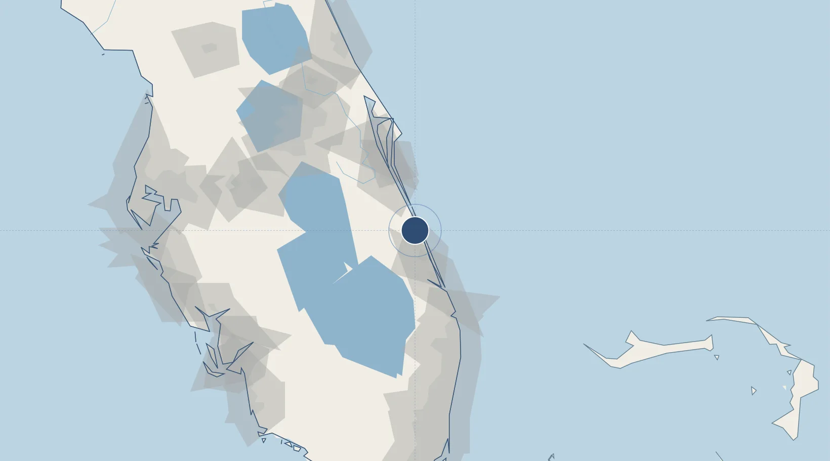
27.6556°, -80.4179°
7,314 ft
Longest runway
3
Runways
24 ft
Elevation
Runway & Layout

Radio Frequencies
ATIS
120.575 MHz
TWR
126.3 MHz
GND
127.45 MHz
CLD
134.975 MHz
CLNC DEL
CTAF
126.3 MHz
APP/DEP
123.625 MHz
Miami APP/DEP
CNTR
132.25 MHz
MIAMI CNTR
RDO
122.2 MHz
ST PETERSBURG RDO
UNIC
122.95 MHz
UNICOM
Navaids
VEP NDB Vero Beach 392 kHz
Runways · 3
| Runway | Dimensions | Surface | True heading | Lit |
|---|---|---|---|---|
| 12R/30L | 7,314 × 100ft | Asphalt | 111° | ✓ |
| 04/22 | 4,974 × 100ft | Asphalt | 036° | ✓ |
| 12L/30R | 3,505 × 75ft | Asphalt | 111° | ✓ |
Airport Specifications
IATA code
VRB
ICAO code
KVRB
Airport class
Medium airport
Scheduled service
Yes
Runway surface
Asphalt
Served city
Vero Beach
Location
Nearby Logistics Neighbours
Airports
Cities
- 1Saint Lucie21 km
- 2Fellsmere22 km
- 3Fort Pierce25 km
- 4Malabar41 km
- 5Indialantic50 km
Ports
- 1Fort Pierce23 km
- 2Palm Beach105 km
- 3Canaveral Harbor118 km
- 4Port Everglades176 km
- 5Tampa202 km
Trade Zones
- 1FTZ No. 218 St. Lucie County33 km
- 2FTZ No. 135 Palm Beach County105 km
- 3FTZ No. 136 Brevard County109 km
- 4FTZ No. 215 Sebring111 km
- 5FTZ No. 042 Orlando141 km
DatabookThe Record of Consolidated Knowledge
United States beyond logistics?