Transport Functions
Rail
Road
Hub Profile
Place type
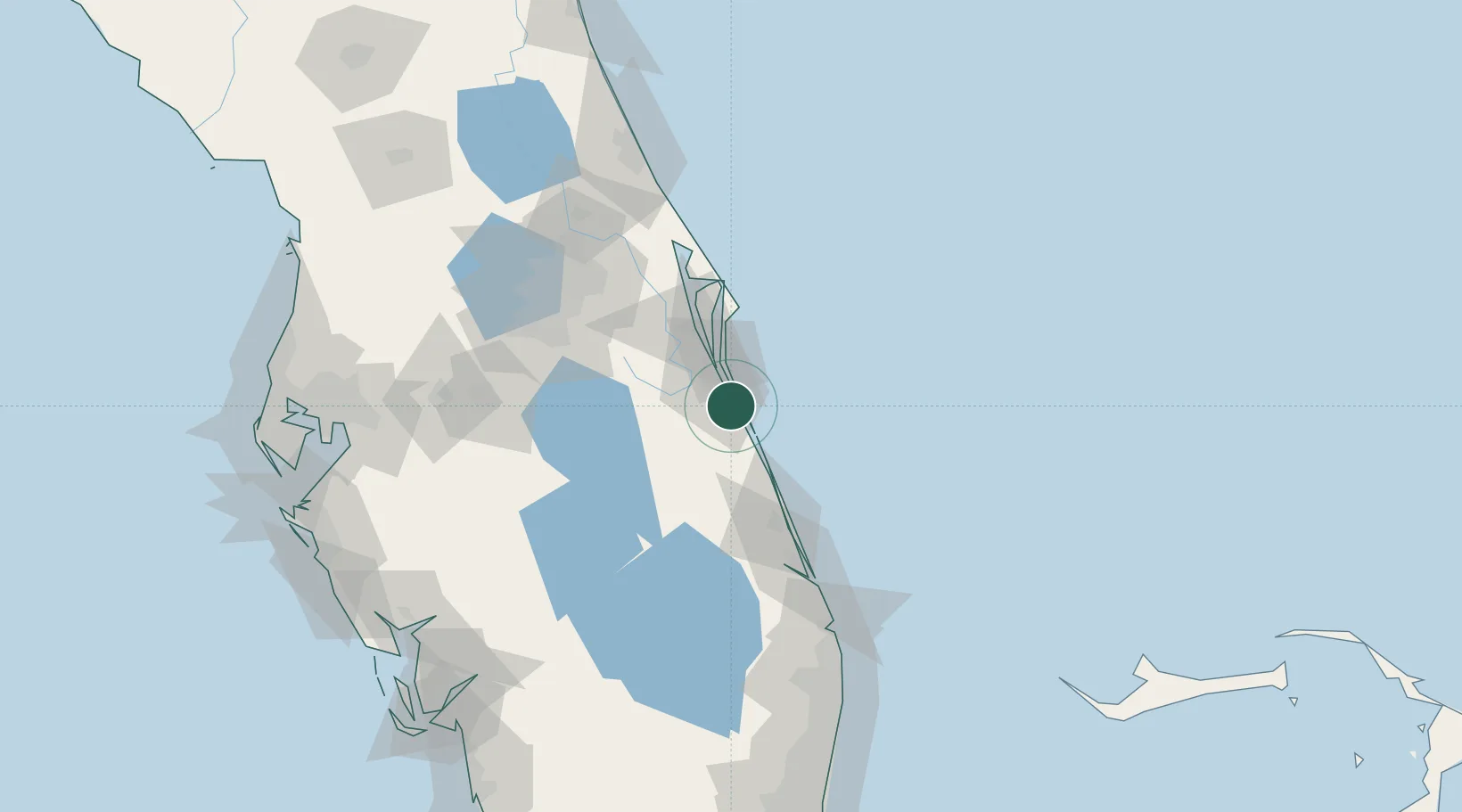
Populated place
Region
Florida
Population
2,936
Time zone
America/New_York
Elevation
7 m
Location
Nearby Logistics Neighbours
Cities
- 1Indialantic9 km
- 2Indian Harbour Beach15 km
- 3Fellsmere26 km
- 4Cocoa Beach35 km
- 5Port Canaveral46 km
Ports
- 1Fort Pierce64 km
- 2Canaveral Harbor78 km
- 3Palm Beach146 km
- 4Tampa185 km
- 5Port Manatee201 km
Airports
Trade Zones
- 1FTZ No. 218 St. Lucie County69 km
- 2FTZ No. 136 Brevard County75 km
- 3FTZ No. 042 Orlando107 km
- 4FTZ No. 215 Sebring111 km
- 5FTZ No. 250 Seminole County114 km
DatabookThe Record of Consolidated Knowledge
United States beyond logistics?