UN/LOCODE hub · United States
USPMI
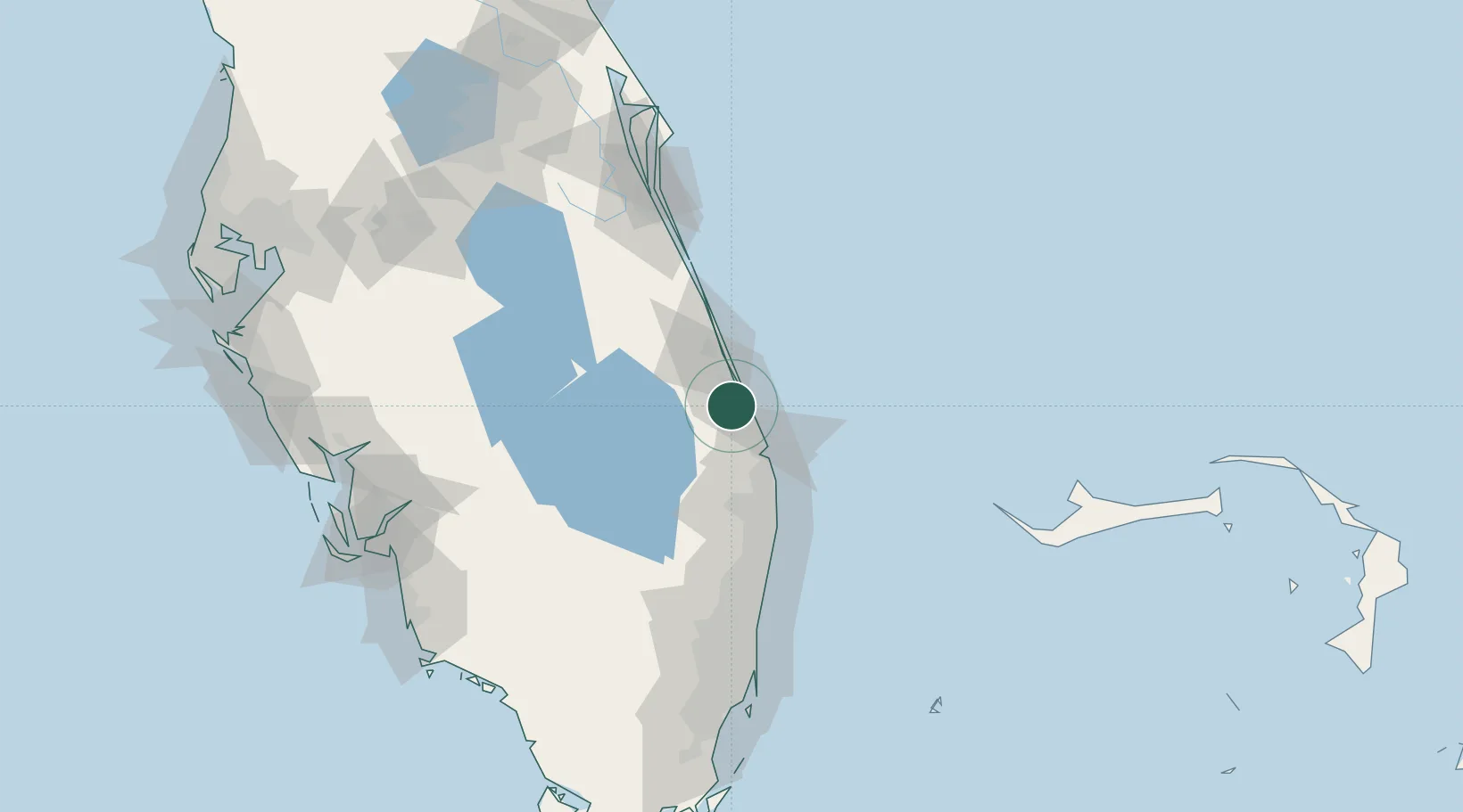
Palm City
27.1667°, -80.2500°
23,120
Population
2
Transport functions
Transport Functions
Road
Multimodal
Hub Profile
Place type
Populated place
Region
Florida
Population
23,120
Time zone
America/New_York
Elevation
2 m
Location
Nearby Logistics Neighbours
Cities
- 1Fort Pierce32 km
- 2Saint Lucie36 km
- 3Palm Beach Gardens41 km
- 4Lake Park45 km
- 5Pembroke Pines45 km
Ports
- 1Fort Pierce34 km
- 2Palm Beach49 km
- 3Port Everglades119 km
- 4Miami154 km
- 5Freeport163 km
Airports
Trade Zones
- 1FTZ No. 218 St. Lucie County38 km
- 2FTZ No. 135 Palm Beach County48 km
- 3FTZ No. 241 Fort Lauderdale108 km
- 4FTZ No. 025 Broward County121 km
- 5FTZ No. 215 Sebring131 km
DatabookThe Record of Consolidated Knowledge
United States beyond logistics?