Large airport · United States

Palm Beach International AirportKPBI
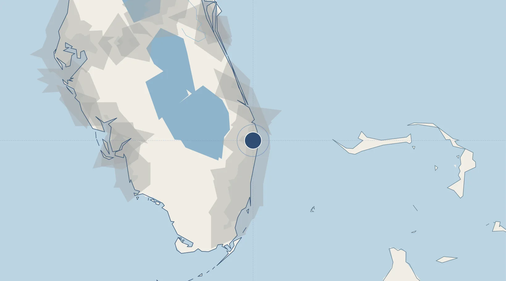
26.6832°, -80.0956°
10,001 ft
Longest runway
3
Runways
19 ft
Elevation

Runway & Layout

Palm Beach International Airport runway & taxiway layout
Runway & taxiway layout — OpenStreetMap (ODbL) / OurAirports

Radio Frequencies

ATIS
123.75 MHz
ASOS
119.975 MHz
TWR
119.1 MHz
GND
121.9 MHz
CLD
121.6 MHz
CLNC DEL
APP
124.6 MHz
DEP
127.35 MHz
RDO
122.4 MHz
MIAMI RDO
UNIC
122.95 MHz
UNICOM
OurAirports

Navaids

PB NDB Rubin 356 kHz
PBI VORTAC Palm Beach 115.70 MHz
OurAirports

Runways · 3

RunwayDimensions SurfaceTrue headingLit
10L/28R 10,001 × 150ft ASPH-G 093°
14/32 6,931 × 150ft ASPH-G 135°
10R/28L 3,214 × 75ft ASPH-G 093°
OurAirports

Airport Specifications

IATA code
PBI
OurAirports
ICAO code
KPBI
OurAirports
Airport class
Large airport
OurAirports
Scheduled service
Yes
OurAirports
Runway surface
ASPH-G
OurAirports
Served city
West Palm Beach
OurAirports

Location

Location of KPBI
Natural Earth 10m (public domain) · Florida · KPBI · 26.68, -80.10GoogleOSMYandex

Nearby Logistics Neighbours

Airports
  1. 1Boca Raton Airport34 km
  2. 2Fort Lauderdale Executive Airport55 km
  3. 3Fort Lauderdale Hollywood International Airport68 km
  4. 4North Perry Airport77 km
  5. 5Miami-Opa Locka Executive Airport88 km
Nearest neighbours — logibook spatial index (haversine) over the source coordinates
Cities
  1. 1Greenacres8 km
  2. 2Royal Palm Beach12 km
  3. 3Lake Park13 km
  4. 4Palm Beach Gardens15 km
  5. 5Pembroke Pines22 km
Nearest neighbours — logibook spatial index (haversine) over the source coordinates
Ports
  1. 1Palm Beach10 km
  2. 2Port Everglades65 km
  3. 3Fort Pierce90 km
  4. 4Miami100 km
  5. 5Freeport132 km
Nearest neighbours — logibook spatial index (haversine) over the source coordinates
Trade Zones
  1. 1FTZ No. 135 Palm Beach County11 km
  2. 2FTZ No. 241 Fort Lauderdale54 km
  3. 3FTZ No. 025 Broward County67 km
  4. 4FTZ No. 218 St. Lucie County90 km
  5. 5FTZ No. 180 Miami (Wynwood)98 km
Nearest neighbours — logibook spatial index (haversine) over the source coordinates
DatabookThe Record of Consolidated Knowledge
United States beyond logistics?
Browse databook

All Sources

AirportsOurAirports
Public domain
Portsthe NGA World Port Index
Public domain (US gov)
LocationsUN/LOCODE
UN/LOCODE — free
Trade Zonesthe World Bank SEZ database
CC BY 4.0
Trade ZonesOpen Zone Map
CC BY
InfrastructureOpenStreetMap
ODbL 1.0
← United States airports