UN/LOCODE hub · United States
USSL2
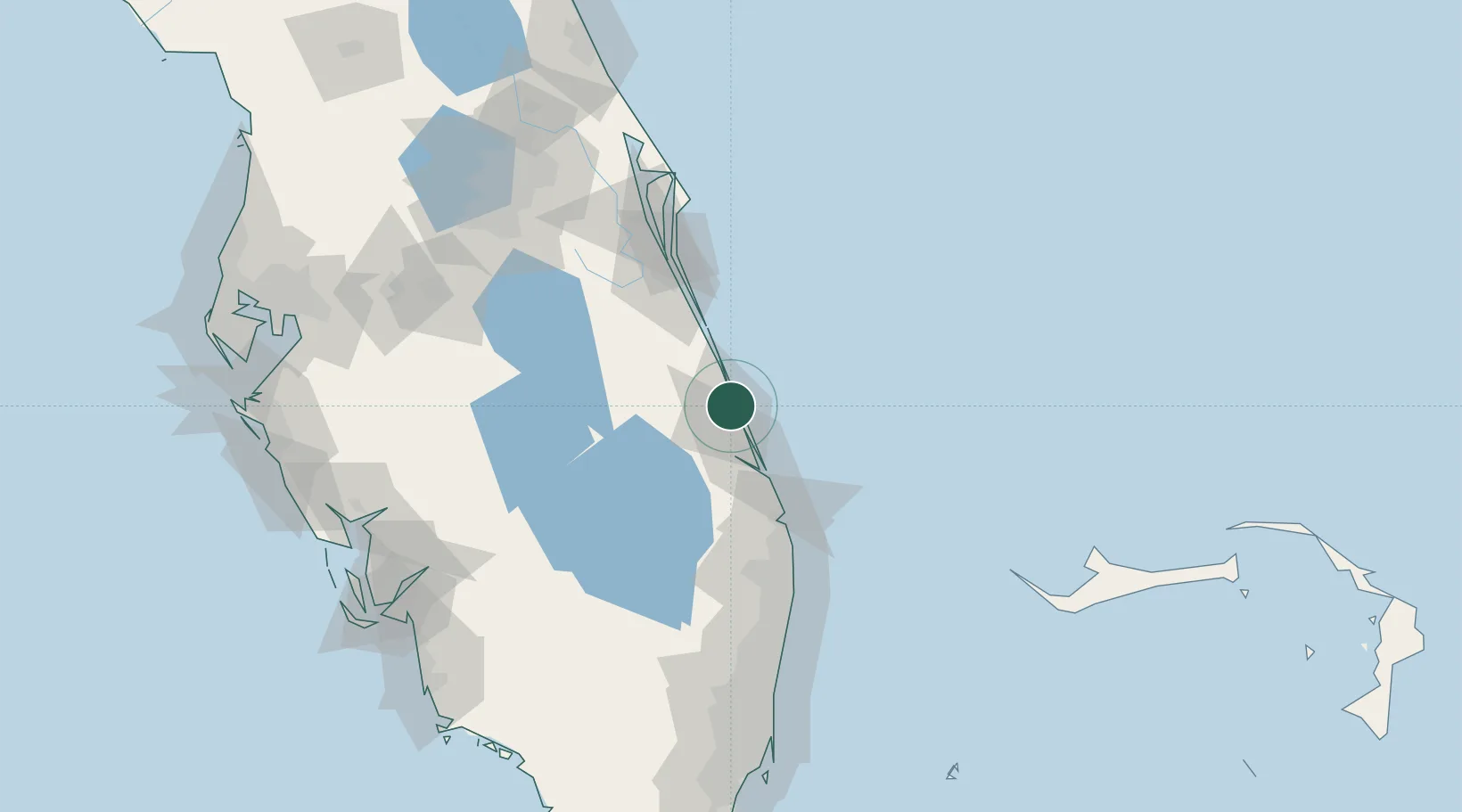
Saint Lucie
27.4833°, -80.3333°
590
Population
3
Transport functions
Transport Functions
Rail
Road
Airport
Hub Profile
Place type
Populated place
Region
Florida
Population
590
Time zone
America/New_York
Elevation
2 m
Location
Nearby Logistics Neighbours
Cities
- 1Fort Pierce7 km
- 2Palm City36 km
- 3Fellsmere41 km
- 4Malabar62 km
- 5Indialantic71 km
Ports
- 1Fort Pierce3 km
- 2Palm Beach85 km
- 3Canaveral Harbor138 km
- 4Port Everglades155 km
- 5Freeport187 km
Airports
Trade Zones
- 1FTZ No. 218 St. Lucie County24 km
- 2FTZ No. 135 Palm Beach County84 km
- 3FTZ No. 215 Sebring118 km
- 4FTZ No. 136 Brevard County128 km
- 5FTZ No. 241 Fort Lauderdale144 km
DatabookThe Record of Consolidated Knowledge
United States beyond logistics?