UN/LOCODE hub · United States
USFPR
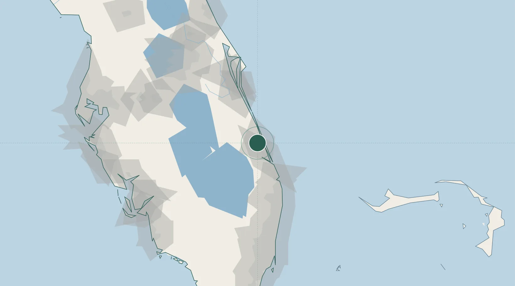
Fort Pierce
27.4344°, -80.3720°
44,484
Population
2
Transport functions
Transport Functions
Port
Airport
Hub Profile
Place type
Provincial seat
Region
Florida
Population
44,484
Time zone
America/New_York
Elevation
5 m
Logistics facilities
5
Location
Nearby Logistics Neighbours
Cities
- 1Saint Lucie7 km
- 2Palm City32 km
- 3Fellsmere43 km
- 4Malabar66 km
- 5Palm Beach Gardens73 km
Ports
- 1Palm Beach81 km
- 2Canaveral Harbor143 km
- 3Port Everglades151 km
- 4Miami185 km
- 5Freeport188 km
Airports
Trade Zones
- 1FTZ No. 218 St. Lucie County18 km
- 2FTZ No. 135 Palm Beach County80 km
- 3FTZ No. 215 Sebring114 km
- 4FTZ No. 136 Brevard County130 km
- 5FTZ No. 241 Fort Lauderdale139 km
DatabookThe Record of Consolidated Knowledge
United States beyond logistics?