Medium airport · United States

Merrill FieldPAMR

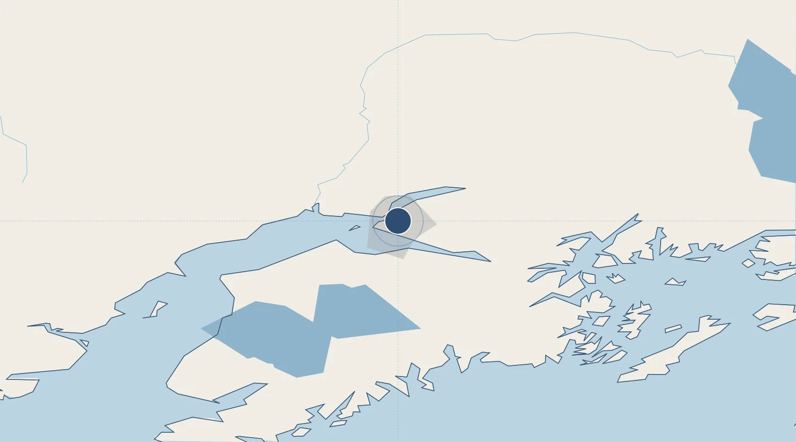
61.2128°, -149.8440°
4,000 ft
Longest runway
3
Runways
137 ft
Elevation

Runway & Layout

Merrill Field runway & taxiway layout
Runway & taxiway layout — OpenStreetMap (ODbL) / OurAirports

Radio Frequencies

ATIS
124.25 MHz
TWR
126 MHz
GND
121.7 MHz
CTAF
126 MHz
A/D
119.1 MHz
ANCHORAGE APP/DEP
FSS
122.2 MHz
KENAI RDO
RFSS
122.3 MHz
KENAI RDO
UNIC
122.95 MHz
UNICOM
OurAirports

Runways · 3

RunwayDimensions SurfaceTrue headingLit
07/25 4,000 × 100ft Asphalt 090°
16/34 2,640 × 75ft Asphalt 180°
04/22 2,000 × 60ft Gravel 066°
OurAirports

Airport Specifications

IATA code
MRI
OurAirports
ICAO code
PAMR
OurAirports
Airport class
Medium airport
OurAirports
Scheduled service
Yes
OurAirports
Runway surface
Asphalt
OurAirports
Served city
Anchorage
OurAirports

Location

Location of PAMR
Natural Earth 10m (public domain) · Alaska · PAMR · 61.21, -149.84GoogleOSMYandex

Nearby Logistics Neighbours

Airports
  1. 1Elmendorf Air Force Base5 km
  2. 2Ted Stevens Anchorage International Airport9 km
  3. 3Birchwood Airport29 km
  4. 4Wasilla Airport43 km
  5. 5Warren "Bud" Woods Palmer Municipal Airport59 km
Nearest neighbours — logibook spatial index (haversine) over the source coordinates
Cities
  1. 1Anchorage3 km
  2. 2Elmendorf Air Force Base5 km
  3. 3Port MacKenzie7 km
  4. 4Houston47 km
  5. 5Susitna50 km
Nearest neighbours — logibook spatial index (haversine) over the source coordinates
Ports
  1. 1Anchorage3 km
  2. 2Whittier79 km
  3. 3Nikiski103 km
  4. 4Kenai107 km
  5. 5Seward126 km
Nearest neighbours — logibook spatial index (haversine) over the source coordinates
Trade Zones
  1. 1FTZ No. 160 Anchorage4 km
  2. 2FTZ No. 108 Valdez187 km
  3. 3FTZ No. 195 Fairbanks418 km
  4. 4FTZ No. 232 Kodiak469 km
  5. 5PrInce George Logistics Park1790 km
Nearest neighbours — logibook spatial index (haversine) over the source coordinates
DatabookThe Record of Consolidated Knowledge
United States beyond logistics?
Browse databook

All Sources

AirportsOurAirports
Public domain
Portsthe NGA World Port Index
Public domain (US gov)
LocationsUN/LOCODE
UN/LOCODE — free
Trade Zonesthe World Bank SEZ database
CC BY 4.0
Trade ZonesOpen Zone Map
CC BY
InfrastructureOpenStreetMap
ODbL 1.0
← United States airports