Seaport · United States
AnchorageUSANC
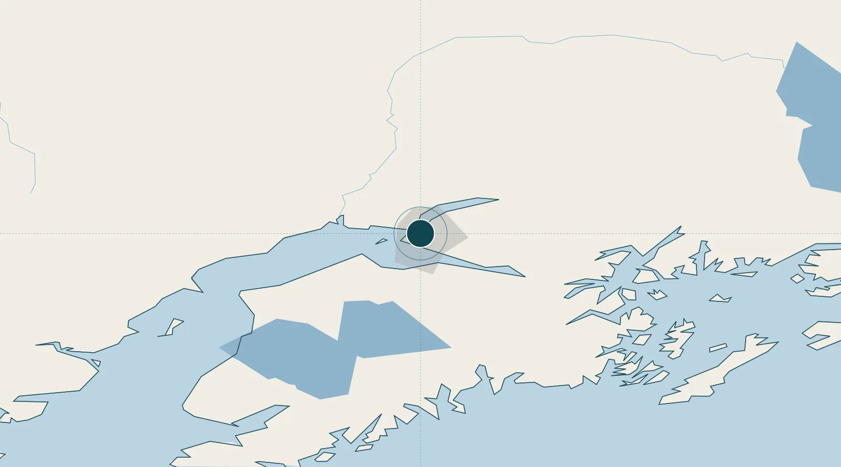
61.2167°, -149.9000°
6.4 m
Channel depth
1
Container terminals
14.6
Port liner connectivity
Channel & Berth Profile
Pilotage, Tugs & Services
Pilotage availableYES
Pilotage advisableYES
Tug assistanceYES
Shore powerYES
Potable waterYES
Diesel bunkersYES
MedicalYES
Garbage disposalYES
Facilities & Capabilities
Container—
Ro-Ro—
Liquid bulk—
Dry bulk—
Oil terminal—
Break bulk—
Dry dock—
RepairsNO
BunkeringYES
Rail linkYES
Dangerous cargo—
ISPS security—
Harbour Specifications
Harbour size
Small
Harbour type
Coastal (Natural)
Shelter
Fair
Water body
Cook Inlet; Gulf of Alaska; North Pacific Ocean
Tidal range
4.6 m
Liner Connectivity
14.6
PLSCI
Port Liner Shipping Connectivity Index for Anchorage, as published by UNCTAD for the latest available quarter. Higher values indicate stronger scheduled liner-shipping integration.
Shown relative to the highest per-port PLSCI in the dataset (1,657.9).
Location
Container Terminals · 1
PORT OF ALASKA TERMINAL ANCHORAGE
POAT DON YOUNG PORT OF ALASKA
Nearby Logistics Neighbours
Ports
- 1Whittier81 km
- 2Nikiski100 km
- 3Kenai105 km
- 4Seward127 km
- 5Drift River142 km
Cities
- 1Port MacKenzie6 km
- 2Elmendorf Air Force Base7 km
- 3Houston47 km
- 4Susitna48 km
- 5Valdez193 km
Airports
Trade Zones
- 1FTZ No. 160 Anchorage3 km
- 2FTZ No. 108 Valdez190 km
- 3FTZ No. 195 Fairbanks418 km
- 4FTZ No. 232 Kodiak468 km
- 5PrInce George Logistics Park1793 km
DatabookThe Record of Consolidated Knowledge
United States beyond logistics?