Small airport · United States
Selawik AirportPASK
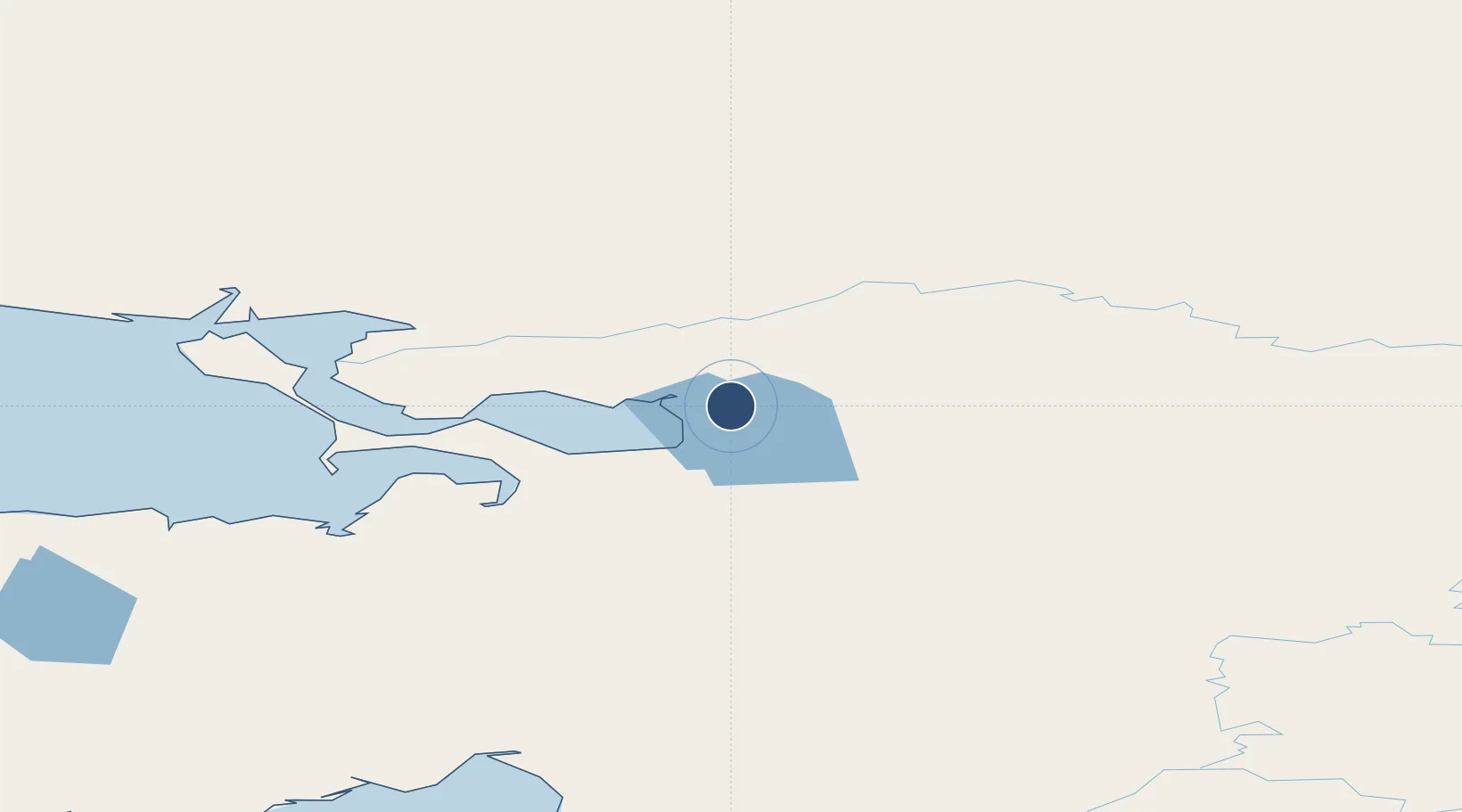
66.6001°, -159.9860°
3,002 ft
Longest runway
2
Runways
17 ft
Elevation
Runway & Layout

Radio Frequencies
AWOS
135.65 MHz
AWOS 3
CTAF
122.7 MHz
CNTR
119.2 MHz
ANCHORAGE CNTR
FSS
122.5 MHz
KOTZEBUE RDO
MISC
114.2 MHz
TWEB
Navaids
WLK VOR-DME Selawik 114.20 MHz
Runways · 2
| Runway | Dimensions | Surface | True heading | Lit |
|---|---|---|---|---|
| 04/22 | 3,002 × 60ft | GRAVEL-G | 053° | — |
| 09/27 | 2,659 × 60ft | Gravel | 106° | ✓ |
Airport Specifications
IATA code
WLK
ICAO code
PASK
Airport class
Small airport
Scheduled service
Yes
Runway surface
GRAVEL-G
Served city
Selawik
Location
Nearby Logistics Neighbours
Airports
- 1Bob Baker Memorial Airport46 km
- 2Robert (Bob) Curtis Memorial Airport52 km
- 3Buckland Airport86 km
- 4Ambler Airport109 km
- 5Ralph Wien Memorial Airport119 km
Cities
- 1Sledge Island370 km
- 2Uelen440 km
- 3Lavrentiya508 km
- 4Point Barrow537 km
- 5Provideniya, Bukhta660 km
Ports
- 1Kotzebue119 km
- 2Deering135 km
- 3Shishmaref274 km
- 4Unalakleet304 km
- 5Solomon305 km
Trade Zones
- 1FTZ No. 195 Fairbanks593 km
- 2FTZ No. 160 Anchorage772 km
- 3FTZ No. 108 Valdez899 km
- 4FTZ No. 232 Kodiak1066 km
- 5PrInce George Logistics Park2434 km
DatabookThe Record of Consolidated Knowledge
United States beyond logistics?