Small airport · United States
Buckland AirportPABL
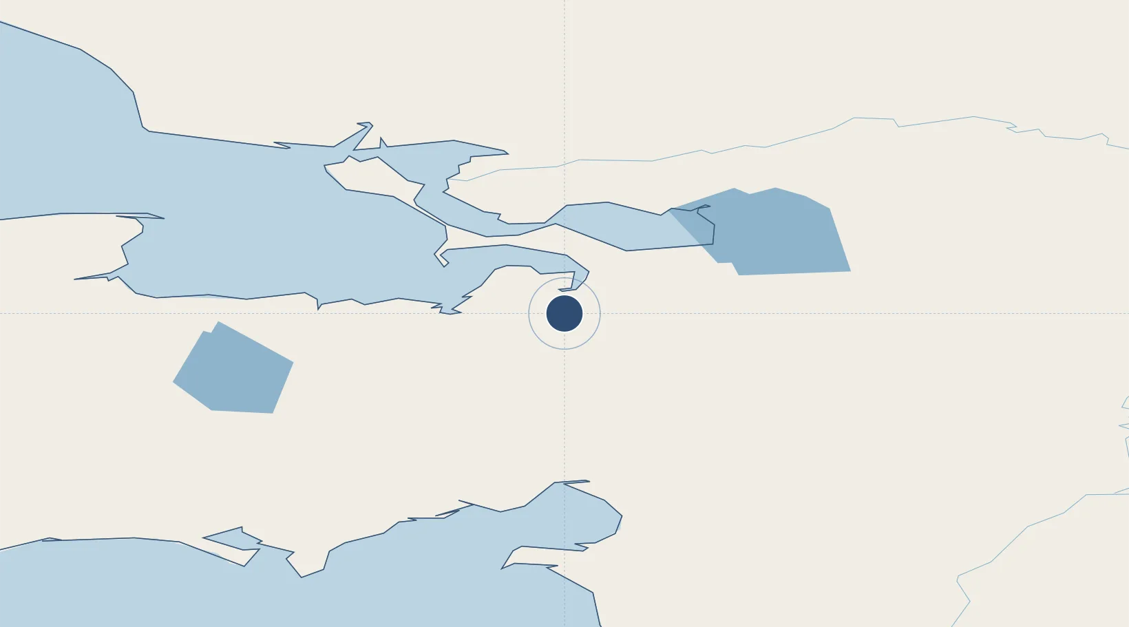
65.9816°, -161.1490°
3,200 ft
Longest runway
1
Runways
31 ft
Elevation
Runway & Layout

Radio Frequencies
AWOS
135.15 MHz
AWOS 3
CTAF
122.9 MHz
CNTR
119.2 MHz
ANCHORAGE APP/DEP
FSS
122.3 MHz
KOTZEBUE RDO
Navaids
BVK NDB-DME Buckland 0.33 MHz
Runways · 1
| Runway | Dimensions | Surface | True heading | Lit |
|---|---|---|---|---|
| 11/29 | 3,200 × 75ft | GRVL-G | 122° | — |
Airport Specifications
IATA code
BKC
ICAO code
PABL
Airport class
Small airport
Scheduled service
Yes
Runway surface
GRVL-G
Served city
Buckland
Location
Nearby Logistics Neighbours
Airports
- 1Deering Airport74 km
- 2Selawik Airport86 km
- 3Robert (Bob) Curtis Memorial Airport93 km
- 4Bob Baker Memorial Airport115 km
- 5Koyuk Alfred Adams Airport116 km
Cities
- 1Sledge Island288 km
- 2Uelen391 km
- 3Lavrentiya451 km
- 4Provideniya, Bukhta593 km
- 5Point Barrow617 km
Ports
- 1Deering72 km
- 2Kotzebue122 km
- 3Solomon220 km
- 4Shishmaref224 km
- 5Unalakleet234 km
Trade Zones
- 1FTZ No. 195 Fairbanks633 km
- 2FTZ No. 160 Anchorage765 km
- 3FTZ No. 108 Valdez906 km
- 4FTZ No. 232 Kodiak1023 km
- 5PrInce George Logistics Park2465 km
DatabookThe Record of Consolidated Knowledge
United States beyond logistics?