Medium airport · United States

Friday Harbor AirportKFHR

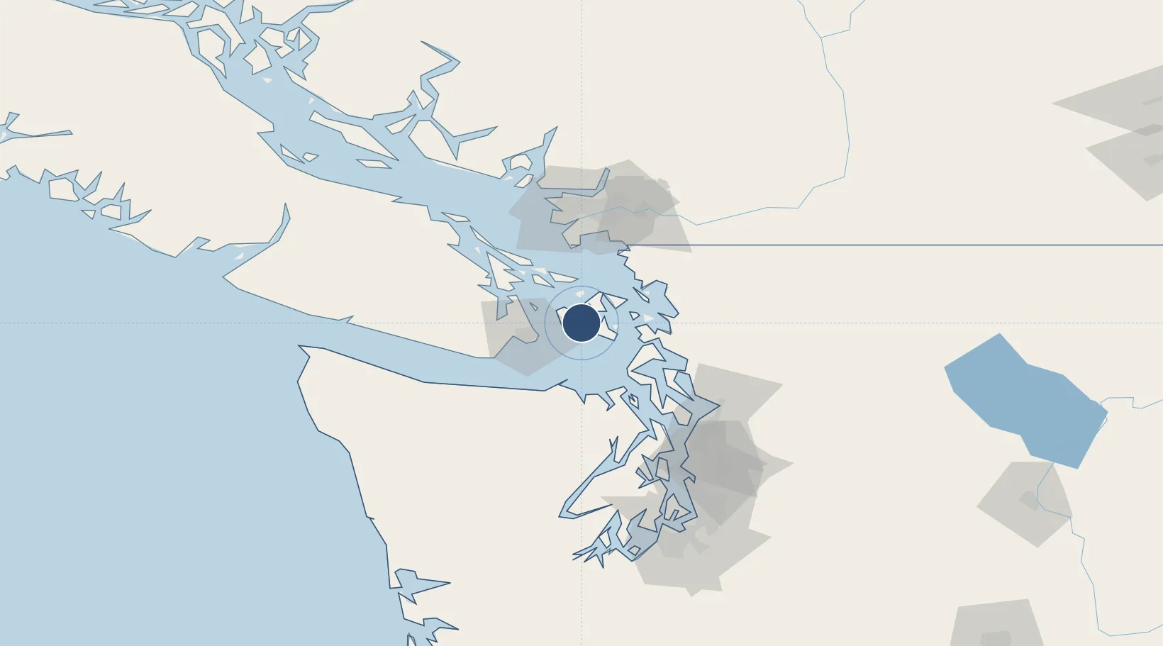
48.5237°, -123.0246°
3,402 ft
Longest runway
1
Runways
113 ft
Elevation

Runway & Layout

Friday Harbor Airport runway & taxiway layout
Runway & taxiway layout — OpenStreetMap (ODbL) / OurAirports

Radio Frequencies

ASOS
135.675 MHz
CTAF
128.25 MHz
A/D
118.2 MHz
WHIDBEY APP/DEP
OurAirports

Runways · 1

RunwayDimensions SurfaceTrue headingLit
16/34 3,402 × 75ft Asphalt 177°
OurAirports

Airport Specifications

IATA code
FRD
OurAirports
ICAO code
KFHR
OurAirports
Airport class
Medium airport
OurAirports
Scheduled service
Yes
OurAirports
Runway surface
Asphalt
OurAirports
Served city
Friday Harbor
OurAirports

Location

Location of KFHR
Natural Earth 10m (public domain) · Washington · KFHR · 48.52, -123.02GoogleOSMYandex

Nearby Logistics Neighbours

Airports
  1. 1Friday Harbor Seaplane Base2 km
  2. 2Lopez Island Airport8 km
  3. 3Fishermans Bay Seaplane Base8 km
  4. 4Deer Harbor SPB11 km
  5. 5Westsound/WSX Seaplane Base12 km
Nearest neighbours — logibook spatial index (haversine) over the source coordinates
Cities
  1. 1Mengkofen22 km
  2. 2Victoria26 km
  3. 3Brentwood Bay32 km
  4. 4Cobble Hill46 km
  5. 5Bellingham48 km
Nearest neighbours — logibook spatial index (haversine) over the source coordinates
Ports
  1. 1Friday Harbor1 km
  2. 2Orcas11 km
  3. 3Roche Harbor15 km
  4. 4Victoria Harbor28 km
  5. 5Sidney30 km
Nearest neighbours — logibook spatial index (haversine) over the source coordinates
Trade Zones
  1. 1FTZ No. 129 Bellingham44 km
  2. 2FTZ No. 128 Whatcom County48 km
  3. 3FTZ Vancouver Island81 km
  4. 4FTZ No. 085 Everett83 km
  5. 5FTZ No. 005 Seattle109 km
Nearest neighbours — logibook spatial index (haversine) over the source coordinates
DatabookThe Record of Consolidated Knowledge
United States beyond logistics?
Browse databook

All Sources

AirportsOurAirports
Public domain
Portsthe NGA World Port Index
Public domain (US gov)
LocationsUN/LOCODE
UN/LOCODE — free
Trade Zonesthe World Bank SEZ database
CC BY 4.0
Trade ZonesOpen Zone Map
CC BY
InfrastructureOpenStreetMap
ODbL 1.0
← United States airports