Small airport · United States

Lopez Island AirportS31

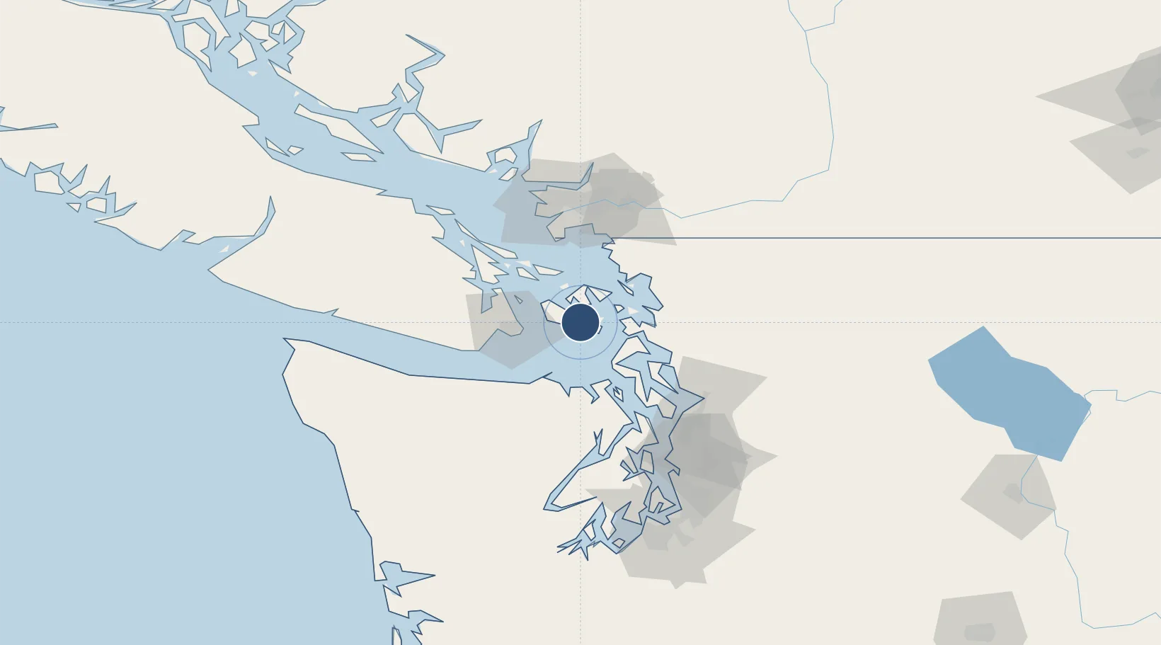
48.4839°, -122.9380°
2,905 ft
Longest runway
1
Runways
209 ft
Elevation

Runway & Layout

Lopez Island Airport runway & taxiway layout
Runway & taxiway layout — OpenStreetMap (ODbL) / OurAirports

Runways · 1

RunwayDimensions SurfaceTrue headingLit
16/34 2,905 × 61ft ASPH-G
OurAirports

Airport Specifications

IATA code
LPS
OurAirports
ICAO code
S31
OurAirports
Airport class
Small airport
OurAirports
Scheduled service
Yes
OurAirports
Runway surface
ASPH-G
OurAirports
Served city
Lopez
OurAirports

Location

Location of S31
Natural Earth 10m (public domain) · Washington · S31 · 48.48, -122.94GoogleOSMYandex

Nearby Logistics Neighbours

Airports
  1. 1Fishermans Bay Seaplane Base4 km
  2. 2Friday Harbor Airport8 km
  3. 3Center Island Airport8 km
  4. 4Friday Harbor Seaplane Base8 km
  5. 5Decatur Shores Airport9 km
Nearest neighbours — logibook spatial index (haversine) over the source coordinates
Cities
  1. 1Mengkofen26 km
  2. 2Victoria31 km
  3. 3Brentwood Bay39 km
  4. 4Bellingham46 km
  5. 5Mount Vernon46 km
Nearest neighbours — logibook spatial index (haversine) over the source coordinates
Ports
  1. 1Friday Harbor8 km
  2. 2Orcas13 km
  3. 3Roche Harbor22 km
  4. 4Anacortes24 km
  5. 5Victoria Harbor33 km
Nearest neighbours — logibook spatial index (haversine) over the source coordinates
Trade Zones
  1. 1FTZ No. 129 Bellingham42 km
  2. 2FTZ No. 128 Whatcom County47 km
  3. 3FTZ No. 085 Everett76 km
  4. 4FTZ Vancouver Island86 km
  5. 5FTZ No. 005 Seattle103 km
Nearest neighbours — logibook spatial index (haversine) over the source coordinates
DatabookThe Record of Consolidated Knowledge
United States beyond logistics?
Browse databook

All Sources

AirportsOurAirports
Public domain
Portsthe NGA World Port Index
Public domain (US gov)
LocationsUN/LOCODE
UN/LOCODE — free
Trade Zonesthe World Bank SEZ database
CC BY 4.0
Trade ZonesOpen Zone Map
CC BY
InfrastructureOpenStreetMap
ODbL 1.0
← United States airports