Channel & Berth Profile
Pilotage, Tugs & Services
Pilotage availableYES
Shore powerNO
Potable waterYES
Diesel bunkersYES
MedicalYES
Garbage disposalNO
Facilities & Capabilities
Container—
Ro-Ro—
Liquid bulk—
Dry bulk—
Oil terminal—
Break bulk—
Dry dock—
Repairs—
BunkeringYES
Rail link—
Dangerous cargo—
ISPS security—
Harbour Specifications
Harbour size
Very Small
Harbour type
Open Roadstead
Shelter
Poor
Water body
Arctic Ocean
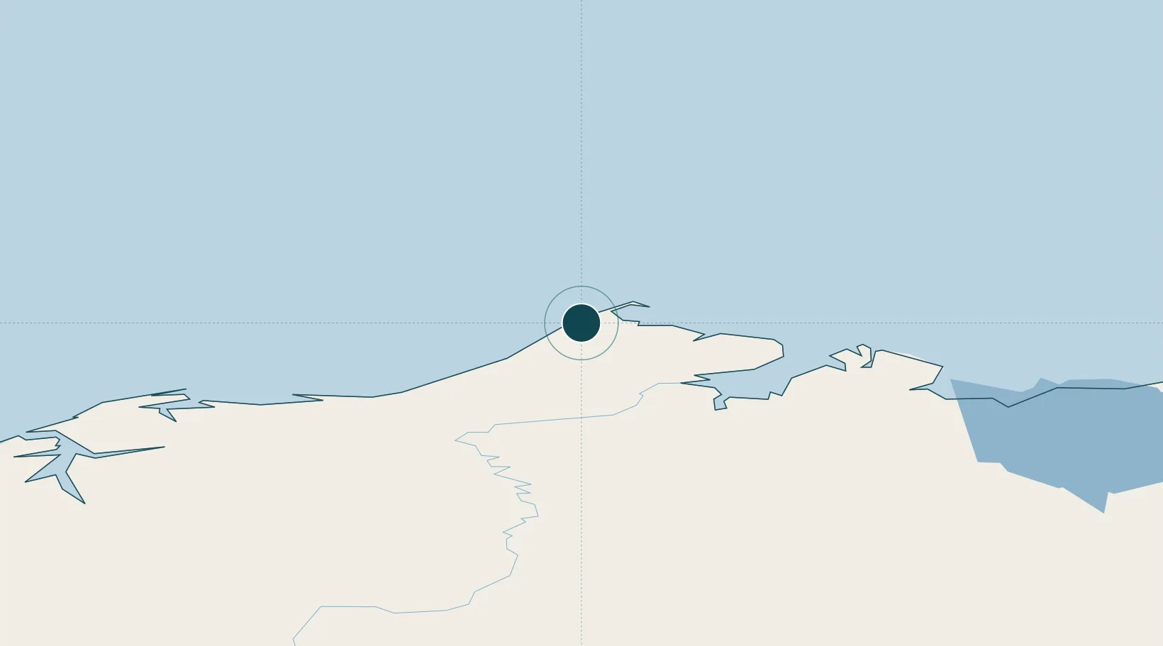
Location
Nearby Logistics Neighbours
Ports
- 1Wainwright136 km
- 2Prudhoe Bay323 km
- 3Kotzebue537 km
- 4Deering626 km
- 5Shishmaref672 km
Cities
- 1Point Barrow4 km
- 2Uelen772 km
- 3Sledge Island851 km
- 4Lavrentiya856 km
- 5Houston1115 km
Airports
Trade Zones
- 1FTZ No. 195 Fairbanks807 km
- 2FTZ No. 160 Anchorage1157 km
- 3FTZ No. 108 Valdez1218 km
- 4FTZ No. 232 Kodiak1543 km
- 5PrInce George Logistics Park2532 km
DatabookThe Record of Consolidated Knowledge
United States beyond logistics?