Medium airport · United States
Wiley Post Will Rogers Memorial AirportPABR
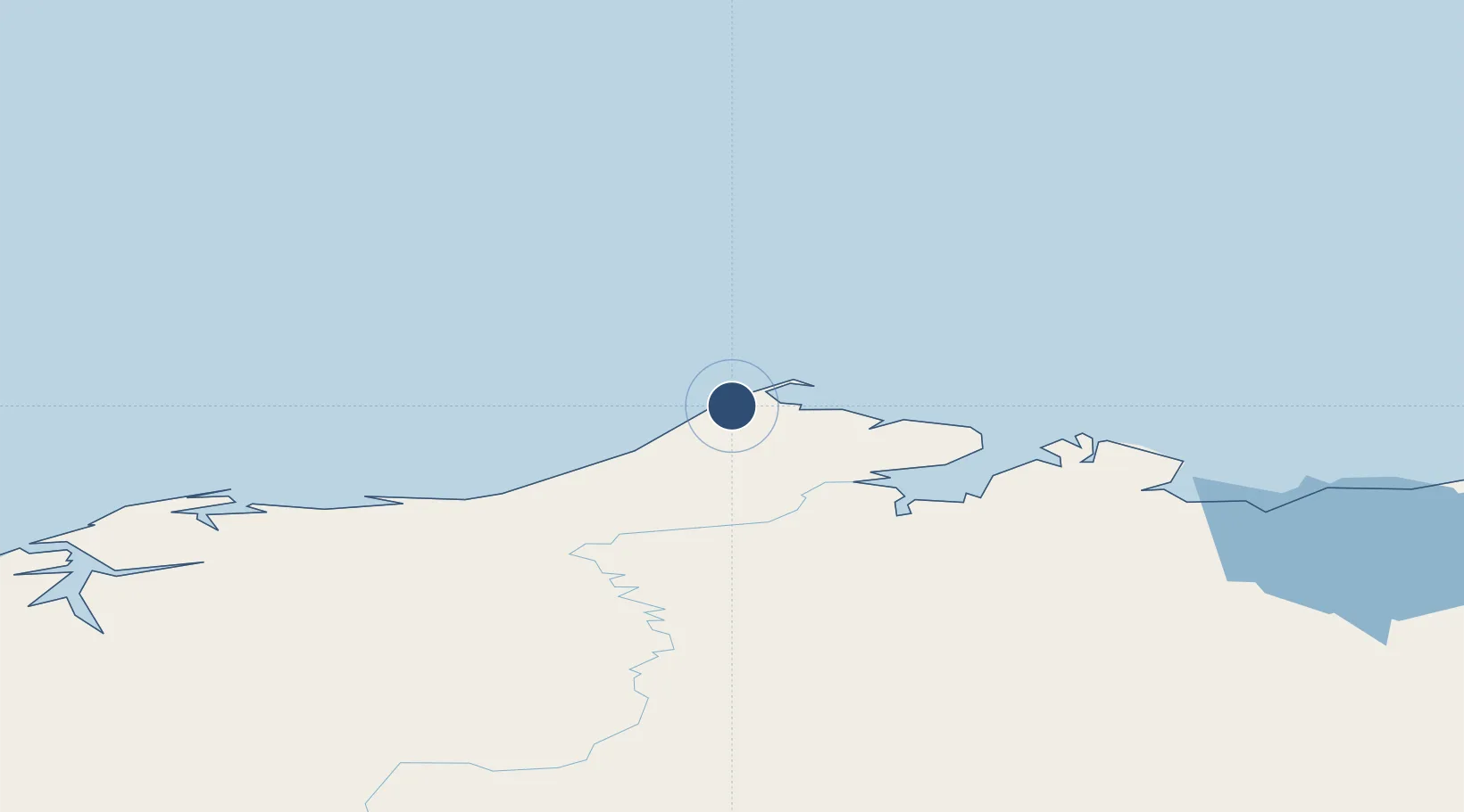
71.2854°, -156.7660°
7,100 ft
Longest runway
1
Runways
44 ft
Elevation
Runway & Layout

Radio Frequencies
ASOS
132.15 MHz
CTAF
123.6 MHz
CNTR
135.3 MHz
ANCHORAGE CNTR
FSS
122.2 MHz
BARROW RDO
Navaids
BRW VOR-DME Barrow 116.20 MHz
IEY NDB Wiley 248 kHz
VIR NDB Browerville 281 kHz
Runways · 1
| Runway | Dimensions | Surface | True heading | Lit |
|---|---|---|---|---|
| 08/26 | 7,100 × 150ft | Asphalt | 090° | ✓ |
Airport Specifications
IATA code
BRW
ICAO code
PABR
Airport class
Medium airport
Scheduled service
Yes
Runway surface
Asphalt
Served city
Utqiaġvik
Location
Nearby Logistics Neighbours
Airports
- 1Atqasuk Edward Burnell Sr Memorial Airport94 km
- 2Wainwright Airport138 km
- 3Nuiqsut Airport243 km
- 4Point Lay LRRS Airport289 km
- 5Anaktuvuk Pass Airport400 km
Cities
- 1Point Barrow4 km
- 2Uelen772 km
- 3Sledge Island851 km
- 4Lavrentiya856 km
- 5Houston1115 km
Ports
- 1Barrow1 km
- 2Wainwright137 km
- 3Prudhoe Bay323 km
- 4Kotzebue537 km
- 5Deering626 km
Trade Zones
- 1FTZ No. 195 Fairbanks807 km
- 2FTZ No. 160 Anchorage1157 km
- 3FTZ No. 108 Valdez1218 km
- 4FTZ No. 232 Kodiak1543 km
- 5PrInce George Logistics Park2532 km
DatabookThe Record of Consolidated Knowledge
United States beyond logistics?