Medium airport · United States

Nuiqsut AirportPAQT

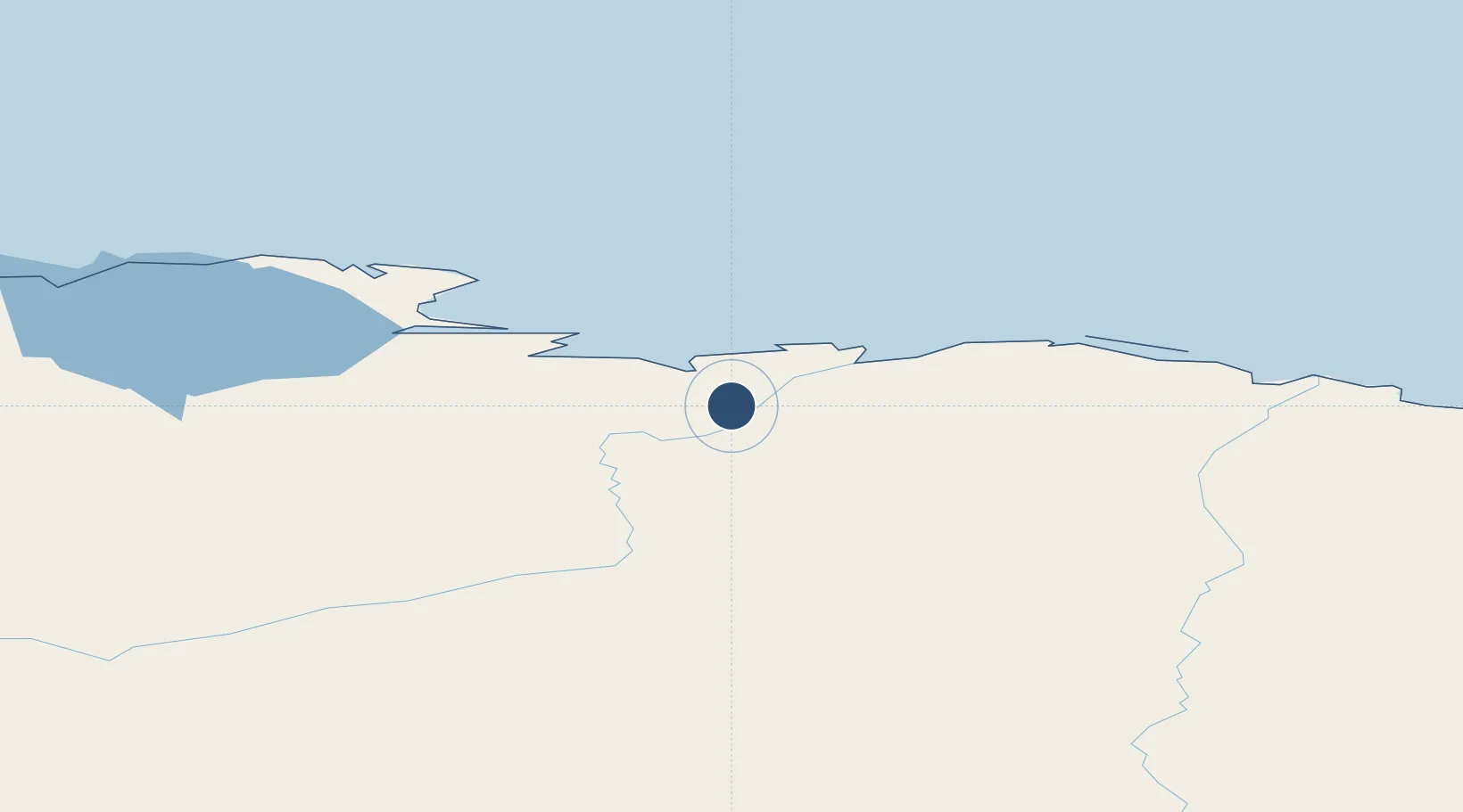
70.2100°, -151.0060°
4,343 ft
Longest runway
1
Runways
38 ft
Elevation

Runway & Layout

Nuiqsut Airport runway & taxiway layout
Runway & taxiway layout — OpenStreetMap (ODbL) / OurAirports

Radio Frequencies

ASOS
122.5 MHz
CTAF
122.8 MHz
A/D
119.4 MHz
ANCHORAGE CNTR
FSS
122.5 MHz
DEADHORSE RDO
OurAirports

Runways · 1

RunwayDimensions SurfaceTrue headingLit
04/22 4,343 × 90ft Gravel 070°
OurAirports

Airport Specifications

IATA code
NUI
OurAirports
ICAO code
PAQT
OurAirports
Airport class
Medium airport
OurAirports
Scheduled service
Yes
OurAirports
Runway surface
Gravel
OurAirports
Served city
Nuiqsut
OurAirports

Location

Location of PAQT
Natural Earth 10m (public domain) · Alaska · PAQT · 70.21, -151.01GoogleOSMYandex

Nearby Logistics Neighbours

Airports
  1. 1Deadhorse Airport96 km
  2. 2Anaktuvuk Pass Airport233 km
  3. 3Atqasuk Edward Burnell Sr Memorial Airport242 km
  4. 4Wiley Post Will Rogers Memorial Airport243 km
  5. 5Arctic Village Airport317 km
Nearest neighbours — logibook spatial index (haversine) over the source coordinates
Cities
  1. 1Point Barrow239 km
  2. 2Herschel Island461 km
  3. 3Sledge Island906 km
  4. 4Houston955 km
  5. 5Susitna965 km
Nearest neighbours — logibook spatial index (haversine) over the source coordinates
Ports
  1. 1Prudhoe Bay98 km
  2. 2Barrow243 km
  3. 3Wainwright338 km
  4. 4Unalakleet819 km
  5. 5Anchorage1001 km
Nearest neighbours — logibook spatial index (haversine) over the source coordinates
Trade Zones
  1. 1FTZ No. 195 Fairbanks613 km
  2. 2FTZ No. 160 Anchorage999 km
  3. 3FTZ No. 108 Valdez1031 km
  4. 4FTZ No. 232 Kodiak1422 km
  5. 5PrInce George Logistics Park2290 km
Nearest neighbours — logibook spatial index (haversine) over the source coordinates
DatabookThe Record of Consolidated Knowledge
United States beyond logistics?
Browse databook

All Sources

AirportsOurAirports
Public domain
Portsthe NGA World Port Index
Public domain (US gov)
LocationsUN/LOCODE
UN/LOCODE — free
Trade Zonesthe World Bank SEZ database
CC BY 4.0
Trade ZonesOpen Zone Map
CC BY
InfrastructureOpenStreetMap
ODbL 1.0
← United States airports