Medium airport · United States
Wainwright AirportPAWI
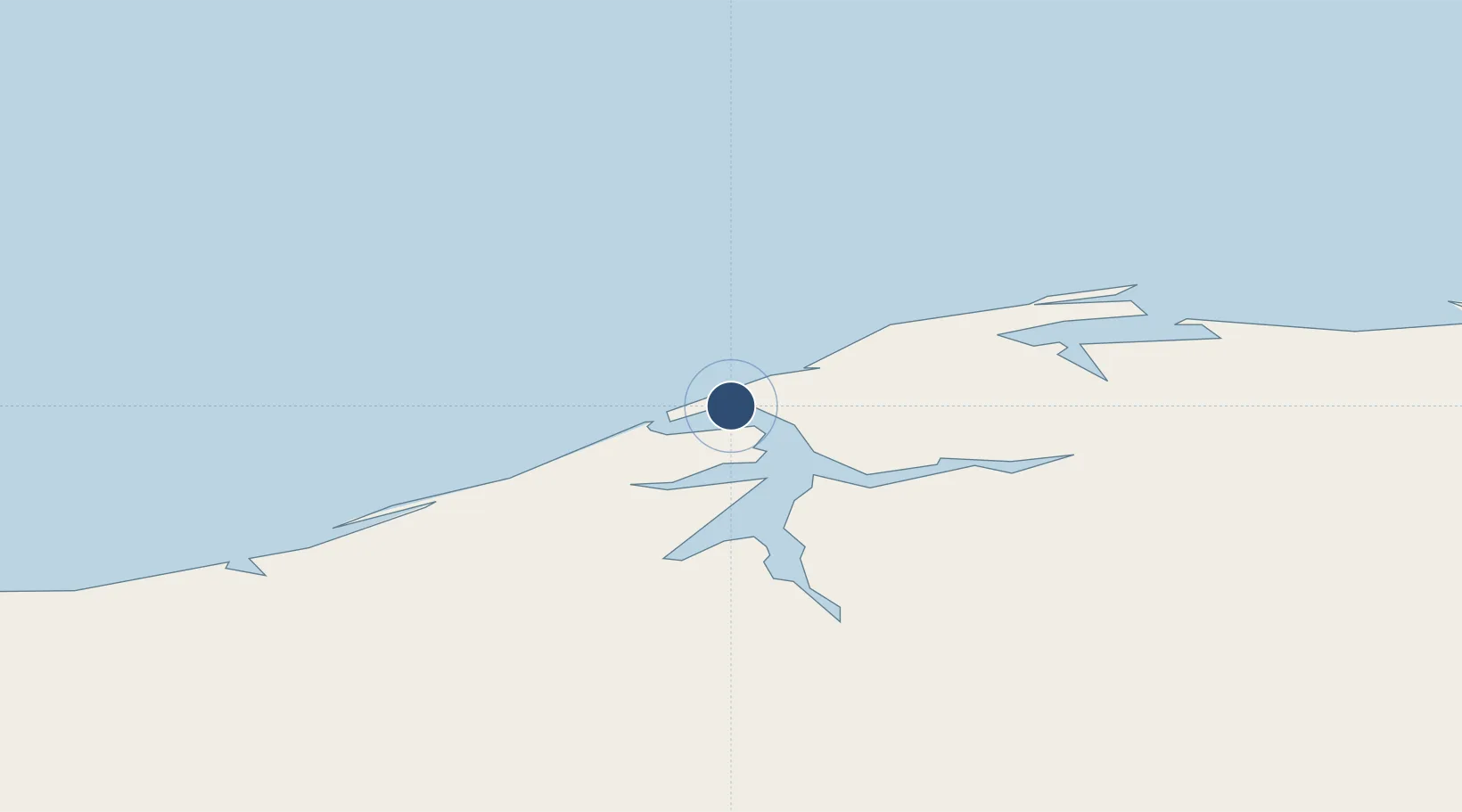
70.6380°, -159.9950°
4,494 ft
Longest runway
1
Runways
41 ft
Elevation
Runway & Layout

Radio Frequencies
ASOS
132.25 MHz
CTAF
122.8 MHz
CNTR
135.3 MHz
ANCHORAGE CNTR
FSS
122.5 MHz
FAIRBANKS RDO
Navaids
UKK NDB Wainwright Village 338 kHz
Runways · 1
| Runway | Dimensions | Surface | True heading | Lit |
|---|---|---|---|---|
| 05/23 | 4,494 × 90ft | Gravel | 067° | ✓ |
Airport Specifications
IATA code
AIN
ICAO code
PAWI
Airport class
Medium airport
Scheduled service
Yes
Runway surface
Gravel
Served city
Wainwright
Location
Nearby Logistics Neighbours
Airports
- 1Atqasuk Edward Burnell Sr Memorial Airport97 km
- 2Wiley Post Will Rogers Memorial Airport138 km
- 3Point Lay LRRS Airport152 km
- 4Noatak Airport362 km
- 5Kivalina Airport370 km
Cities
- 1Point Barrow140 km
- 2Uelen638 km
- 3Lavrentiya722 km
- 4Sledge Island732 km
- 5Provideniya, Bukhta893 km
Ports
- 1Wainwright1 km
- 2Barrow137 km
- 3Kotzebue427 km
- 4Prudhoe Bay431 km
- 5Deering519 km
Trade Zones
- 1FTZ No. 195 Fairbanks823 km
- 2FTZ No. 160 Anchorage1138 km
- 3FTZ No. 108 Valdez1219 km
- 4FTZ No. 232 Kodiak1494 km
- 5PrInce George Logistics Park2600 km
DatabookThe Record of Consolidated Knowledge
United States beyond logistics?