Medium airport · United States
Atqasuk Edward Burnell Sr Memorial AirportPATQ
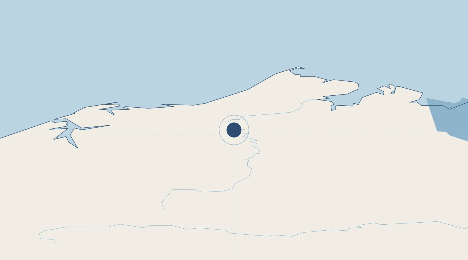
70.4670°, -157.4360°
4,370 ft
Longest runway
1
Runways
96 ft
Elevation
Runway & Layout

Radio Frequencies
ASOS
119.925 MHz
CTAF
122.9 MHz
CNTR
135.3 MHz
ANCHORAGE CNTR
FSS
122.2 MHz
BARROW RDO
Navaids
ATK NDB Atqasuk 350 kHz
Runways · 1
| Runway | Dimensions | Surface | True heading | Lit |
|---|---|---|---|---|
| 07/25 | 4,370 × 90ft | Gravel | 081° | ✓ |
Airport Specifications
IATA code
ATK
ICAO code
PATQ
Airport class
Medium airport
Scheduled service
Yes
Runway surface
Gravel
Served city
Atqasuk
Location
Nearby Logistics Neighbours
Airports
- 1Wiley Post Will Rogers Memorial Airport94 km
- 2Wainwright Airport97 km
- 3Point Lay LRRS Airport226 km
- 4Nuiqsut Airport242 km
- 5Anaktuvuk Pass Airport342 km
Cities
- 1Point Barrow95 km
- 2Uelen696 km
- 3Sledge Island761 km
- 4Lavrentiya780 km
- 5Houston1039 km
Ports
- 1Barrow94 km
- 2Wainwright97 km
- 3Prudhoe Bay336 km
- 4Kotzebue446 km
- 5Deering534 km
Trade Zones
- 1FTZ No. 195 Fairbanks746 km
- 2FTZ No. 160 Anchorage1080 km
- 3FTZ No. 108 Valdez1150 km
- 4FTZ No. 232 Kodiak1456 km
- 5PrInce George Logistics Park2507 km
DatabookThe Record of Consolidated Knowledge
United States beyond logistics?