Medium airport · United States
Point Lay LRRS AirportPPIZ
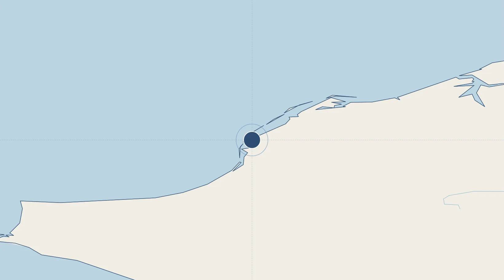
69.7329°, -163.0050°
3,519 ft
Longest runway
1
Runways
22 ft
Elevation
Runway & Layout

Radio Frequencies
AWOS
135.65 MHz
AWOS 3
CTAF
122.4 MHz
CNTR
119.65 MHz
ANCHORAGE CNTR
FSS
122.4 MHz
FAIRBANKS RDO
MISC
122.8 MHz
UNIC
126.2 MHz
UNICOM
Navaids
PIZ NDB Point Lay 362 kHz
Runways · 1
| Runway | Dimensions | Surface | True heading | Lit |
|---|---|---|---|---|
| 05/23 | 3,519 × 80ft | Gravel | 069° | ✓ |
Airport Specifications
IATA code
PIZ
ICAO code
PPIZ
Airport class
Medium airport
Scheduled service
Yes
Runway surface
Gravel
Served city
Point Lay
Location
Nearby Logistics Neighbours
Airports
- 1Wainwright Airport152 km
- 2Cape Lisburne LRRS Airport155 km
- 3Point Hope Airport216 km
- 4Kivalina Airport231 km
- 5Noatak Airport242 km
Cities
- 1Point Barrow291 km
- 2Uelen487 km
- 3Vankarem558 km
- 4Lavrentiya571 km
- 5Sledge Island600 km
Ports
- 1Wainwright152 km
- 2Barrow288 km
- 3Kotzebue314 km
- 4Deering406 km
- 5Shishmaref408 km
Trade Zones
- 1FTZ No. 195 Fairbanks848 km
- 2FTZ No. 160 Anchorage1117 km
- 3FTZ No. 108 Valdez1219 km
- 4FTZ No. 232 Kodiak1436 km
- 5PrInce George Logistics Park2664 km
DatabookThe Record of Consolidated Knowledge
United States beyond logistics?