UN/LOCODE hub · United States
USHKA
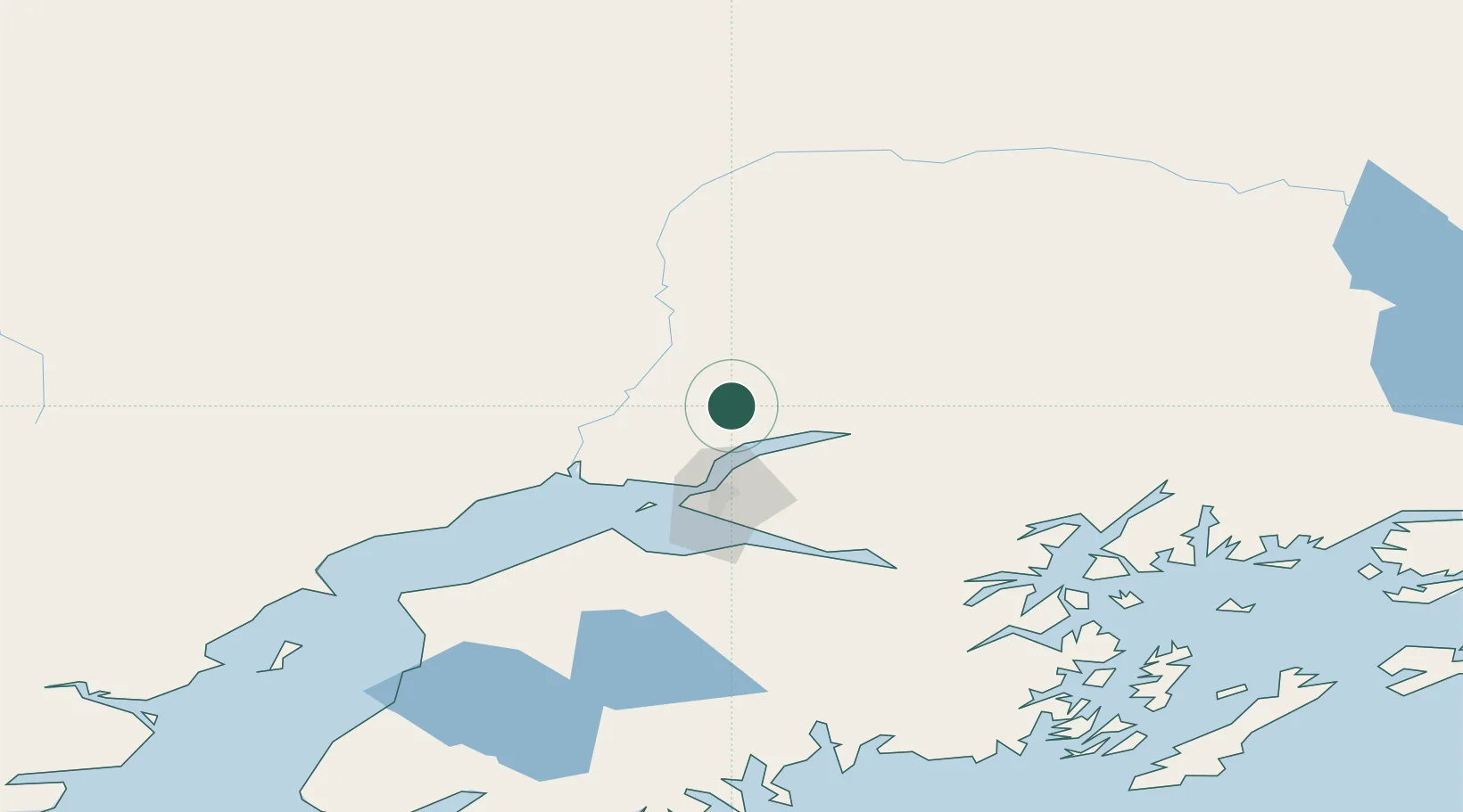
Houston
61.6333°, -149.8167°
2,206
Population
3
Transport functions
Transport Functions
Rail
Road
Multimodal
Hub Profile
Place type
Populated place
Region
Alaska
Population
2,206
Time zone
America/Anchorage
Elevation
76 m
Location
Nearby Logistics Neighbours
Cities
- 1Susitna38 km
- 2Port MacKenzie41 km
- 3Elmendorf Air Force Base43 km
- 4Anchorage44 km
- 5Valdez195 km
Airports
- 1Wasilla Airport16 km
- 2Birchwood Airport29 km
- 3Wasilla Creek Airpark33 km
- 4Warren "Bud" Woods Palmer Municipal Airport39 km
- 5Elmendorf Air Force Base42 km
Trade Zones
- 1FTZ No. 160 Anchorage44 km
- 2FTZ No. 108 Valdez192 km
- 3FTZ No. 195 Fairbanks372 km
- 4FTZ No. 232 Kodiak511 km
- 5PrInce George Logistics Park1801 km
DatabookThe Record of Consolidated Knowledge
United States beyond logistics?