UN/LOCODE hub · United States
USCJO

Caro

43.4833°, -83.4000°
4,099
Population
2
Transport functions

Transport Functions

Port
Road
UN/LOCODE

Hub Profile

Place type
Provincial seat
GeoNames
Region
Michigan
GeoNames
Population
4,099
GeoNames
Time zone
America/Detroit
GeoNames
Elevation
221 m
GeoNames

Location

Location of USCJO
Natural Earth 10m (public domain) · Michigan · USCJO · 43.48, -83.40GoogleOSMYandex

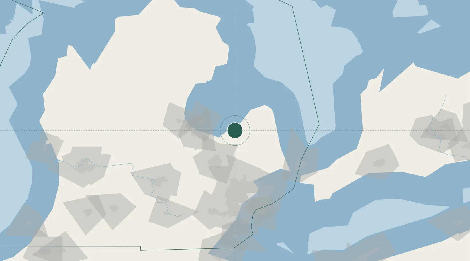
Nearby Logistics Neighbours

Cities
  1. 1Cass City23 km
  2. 2Clio43 km
  3. 3Kawkawlin47 km
  4. 4Lapeer49 km
  5. 5Linwood52 km
Nearest neighbours — logibook spatial index (haversine) over the source coordinates
Ports
  1. 1Bay City40 km
  2. 2Saginaw43 km
  3. 3Harbor Beach73 km
  4. 4Alabaster79 km
  5. 5Tawas City88 km
Nearest neighbours — logibook spatial index (haversine) over the source coordinates
Airports
  1. 1MBS International Airport55 km
  2. 2Bishop International Airport64 km
  3. 3Oakland County International Airport91 km
  4. 4Chris Hadfield Airport104 km
  5. 5Selfridge Air National Guard Base Airport107 km
Nearest neighbours — logibook spatial index (haversine) over the source coordinates
Trade Zones
  1. 1FTZ No. 140 Flint60 km
  2. 2FTZ No. 284 Genesee County71 km
  3. 3FTZ No. 210 St. Clair County101 km
  4. 4FTZ No. 101 Clinton County124 km
  5. 5FTZ No. 070 Detroit126 km
Nearest neighbours — logibook spatial index (haversine) over the source coordinates
DatabookThe Record of Consolidated Knowledge
United States beyond logistics?
Browse databook

All Sources

LocationsUN/LOCODE
UN/LOCODE — free
LocationsGeoNames
CC BY 4.0
Portsthe NGA World Port Index
Public domain (US gov)
AirportsOurAirports
Public domain
Trade Zonesthe World Bank SEZ database
CC BY 4.0
Trade ZonesOpen Zone Map
CC BY
← United States locations