UN/LOCODE hub · United States
USCKI

Catalina Island

33.3833°, -118.4167°
2
Transport functions

Transport Functions

Port
Airport
UN/LOCODE

Hub Profile

Region
CA
GeoNames

Location

Location of USCKI
Natural Earth 10m (public domain) · CA · USCKI · 33.38, -118.42GoogleOSMYandex

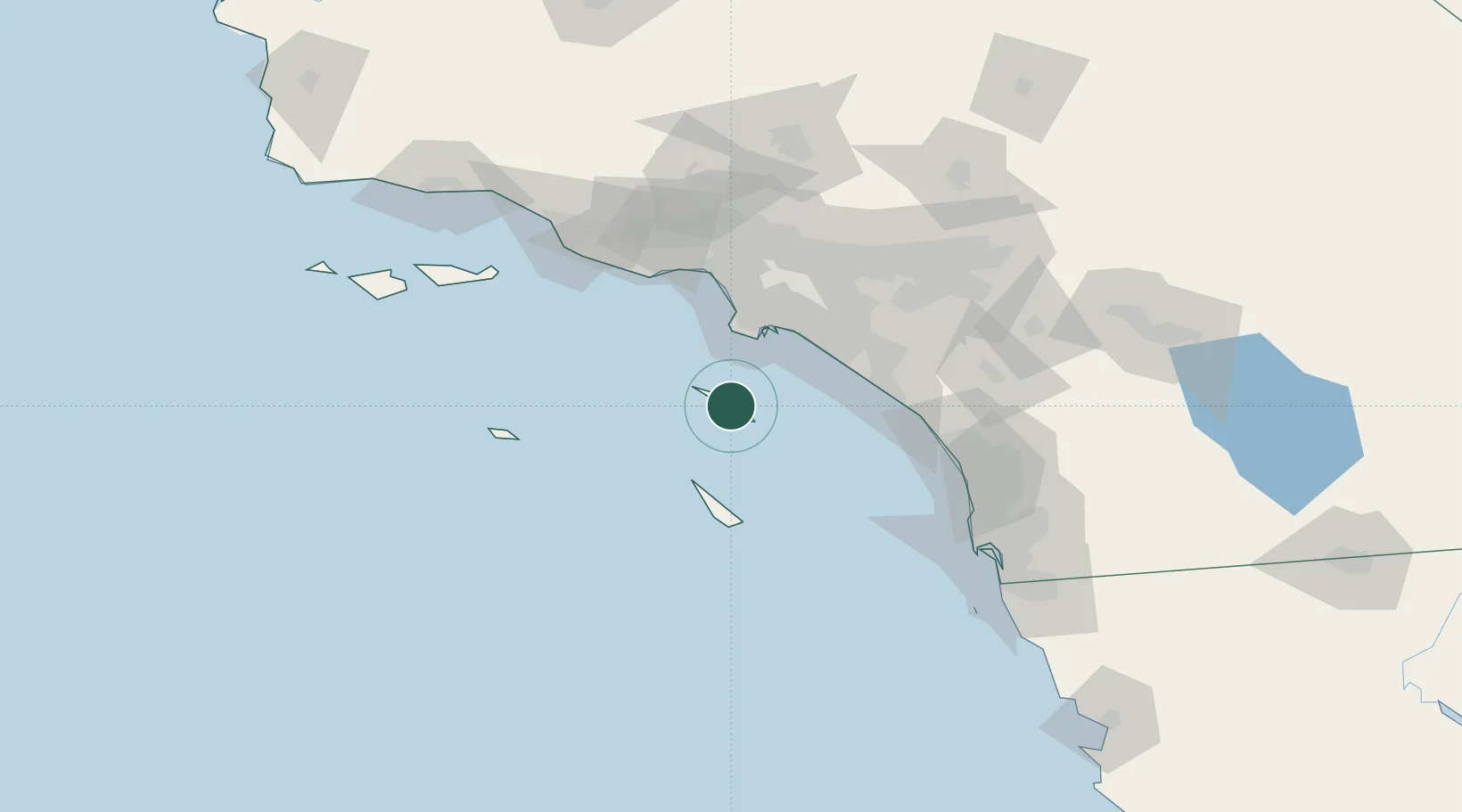
Nearby Logistics Neighbours

Cities
  1. 1Avalon11 km
  2. 2Wilmington47 km
  3. 3Thenard48 km
  4. 4San Pedro51 km
  5. 5Long Beach52 km
Nearest neighbours — logibook spatial index (haversine) over the source coordinates
Ports
  1. 1Avalon10 km
  2. 2Los Angeles44 km
  3. 3Long Beach48 km
  4. 4Newport Beach55 km
  5. 5El Segundo59 km
Nearest neighbours — logibook spatial index (haversine) over the source coordinates
Trade Zones
  1. 1FTZ No. 202 Los Angeles42 km
  2. 2FTZ No. 050 Long Beach54 km
  3. 3FTZ No. 205 Port Hueneme112 km
  4. 4FTZ No. 244 Riverside County120 km
  5. 5FTZ No. 191 Palmdale136 km
Nearest neighbours — logibook spatial index (haversine) over the source coordinates
DatabookThe Record of Consolidated Knowledge
United States beyond logistics?
Browse databook

All Sources

LocationsUN/LOCODE
UN/LOCODE — free
Portsthe NGA World Port Index
Public domain (US gov)
AirportsOurAirports
Public domain
Trade Zonesthe World Bank SEZ database
CC BY 4.0
Trade ZonesOpen Zone Map
CC BY
← United States locations