Transport Functions
Port
Road
Hub Profile
Place type
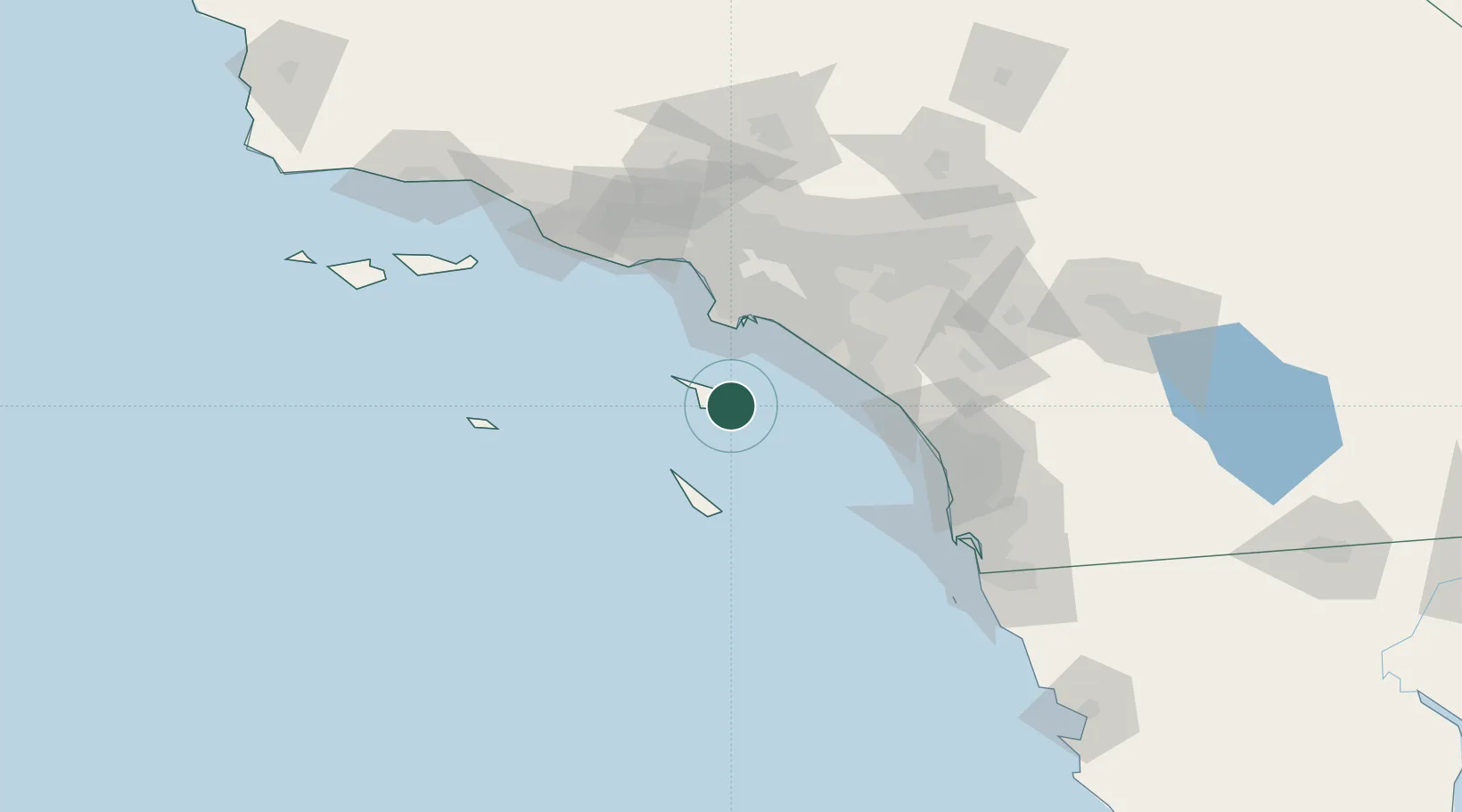
Populated place
Region
California
Population
3,799
Time zone
America/Los_Angeles
Elevation
9 m
Location
Nearby Logistics Neighbours
Cities
- 1Catalina Island11 km
- 2Newport Beach49 km
- 3Thenard51 km
- 4Wilmington51 km
- 5Corona del Mar51 km
Ports
- 1Los Angeles47 km
- 2Long Beach50 km
- 3Newport Beach50 km
- 4El Segundo66 km
- 5Port Hueneme122 km
Airports
Trade Zones
- 1FTZ No. 202 Los Angeles45 km
- 2FTZ No. 050 Long Beach56 km
- 3FTZ No. 244 Riverside County115 km
- 4FTZ No. 205 Port Hueneme122 km
- 5FTZ No. 191 Palmdale140 km
DatabookThe Record of Consolidated Knowledge
United States beyond logistics?