Channel & Berth Profile
Pilotage, Tugs & Services
Pilotage compulsoryYES
Tug assistanceYES
Shore powerYES
Potable waterYES
Diesel bunkersYES
MedicalYES
Facilities & Capabilities
Container—
Ro-Ro—
Liquid bulk—
Dry bulk—
Oil terminal—
Break bulk—
Dry dock—
RepairsNO
BunkeringYES
Rail linkYES
Dangerous cargo—
ISPS security—
Harbour Specifications
Harbour size
Medium
Harbour type
River (Natural)
Shelter
Good
Water body
North Atlantic Ocean
Tidal range
1.5 m
Overhead limit
Yes
Pilotage
Yes
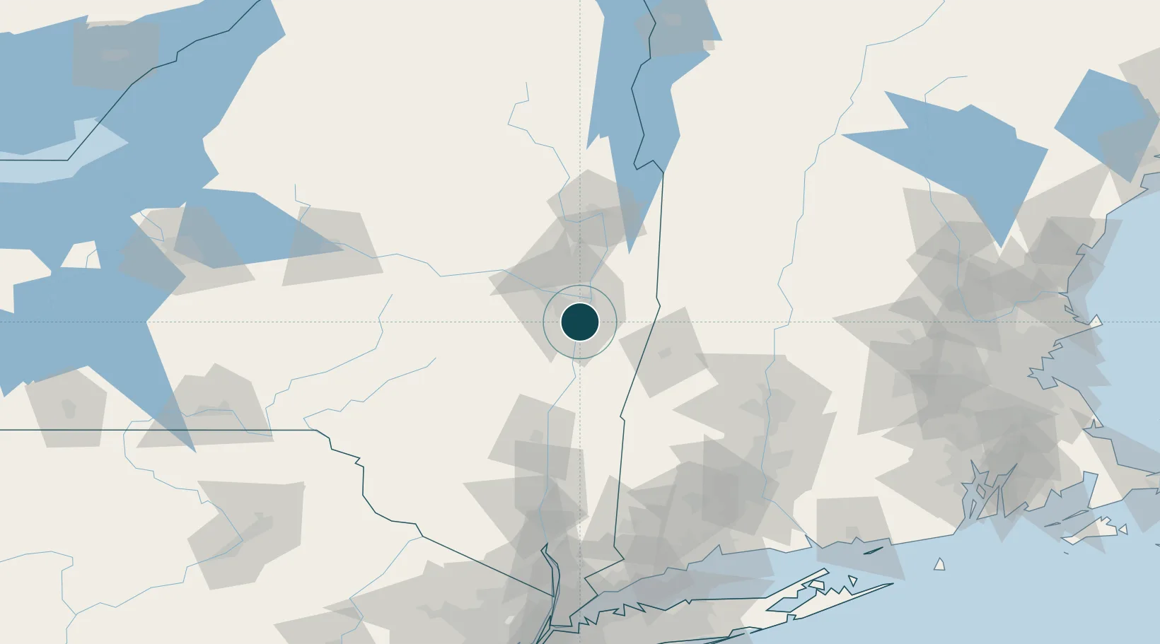
Location
Nearby Logistics Neighbours
Ports
- 1Rensselaer0 km
- 2Troy10 km
- 3Catskill49 km
- 4Kingston82 km
- 5Poughkeepsie107 km
Cities
- 1Loudonville6 km
- 2Troy9 km
- 3Colonie10 km
- 4Maywood, Albany13 km
- 5South Bethlehem16 km
Airports
Trade Zones
- 1FTZ No. 121 Albany9 km
- 2FTZ No. 268 Brattleboro97 km
- 3FTZ No. 201 Holyoke98 km
- 4FTZ No. 071 Windsor Locks122 km
- 5FTZ No. 162 New Haven164 km
DatabookThe Record of Consolidated Knowledge
United States beyond logistics?