UN/LOCODE hub · United States
USHH4

South Bethlehem

42.5167°, -73.8333°
1
Transport functions

Transport Functions

Multimodal
UN/LOCODE

Hub Profile

Place type
Populated place
GeoNames
Region
New York
GeoNames
Time zone
America/New_York
GeoNames
Elevation
65 m
GeoNames

Location

Location of USHH4
Natural Earth 10m (public domain) · New York · USHH4 · 42.52, -73.83GoogleOSMYandex

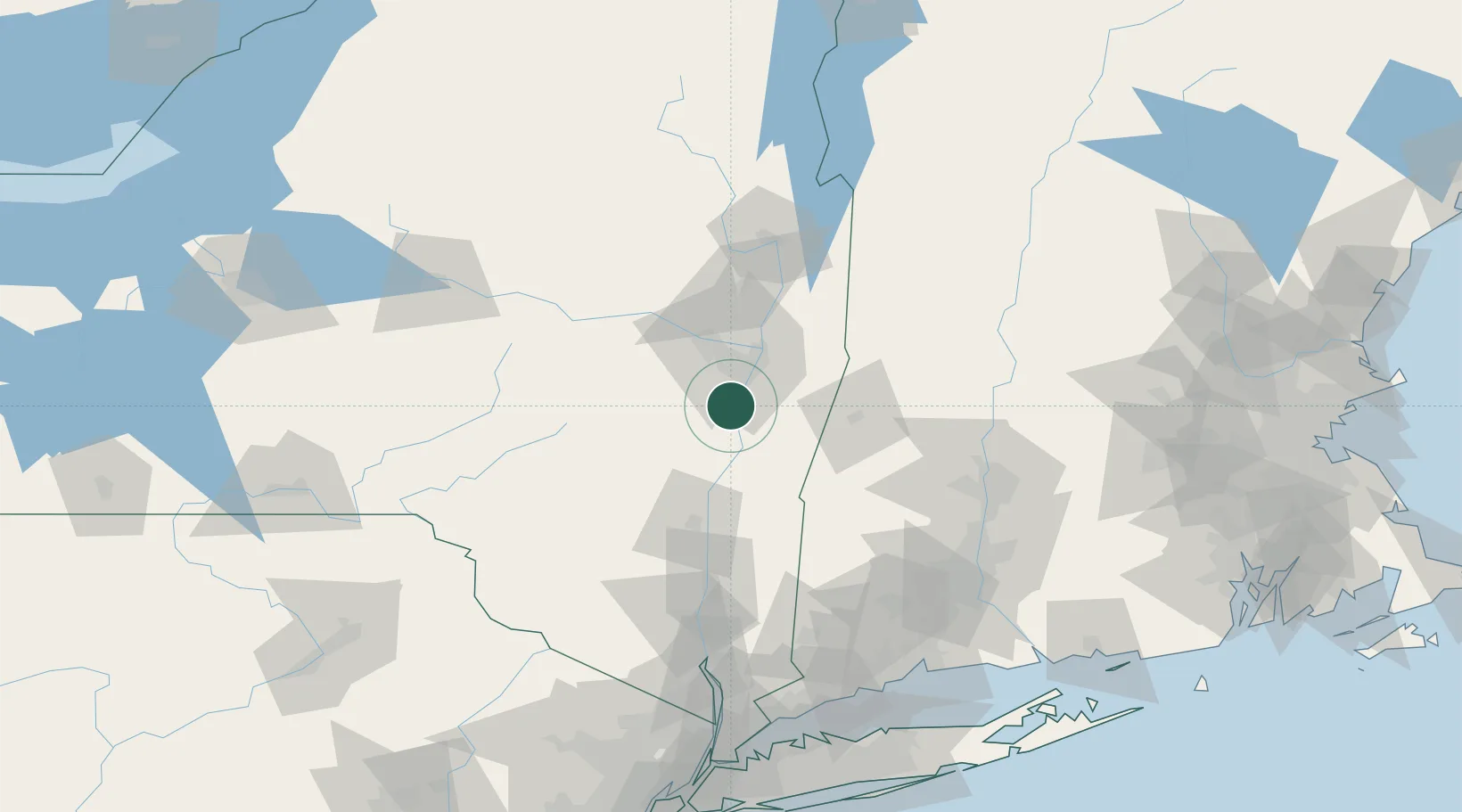
Nearby Logistics Neighbours

Cities
  1. 1Ravena6 km
  2. 2Schodack Landing8 km
  3. 3Westerlo17 km
  4. 4Coxsackie, Greene19 km
  5. 5Nassau19 km
Nearest neighbours — logibook spatial index (haversine) over the source coordinates
Ports
  1. 1Albany16 km
  2. 2Rensselaer16 km
  3. 3Troy26 km
  4. 4Catskill33 km
  5. 5Kingston66 km
Nearest neighbours — logibook spatial index (haversine) over the source coordinates
Airports
  1. 1Albany International Airport26 km
  2. 2Schenectady County Airport38 km
  3. 3Floyd Bennett Memorial Airport94 km
  4. 4Dutchess County Airport99 km
  5. 5Westfield-Barnes Regional Airport100 km
Nearest neighbours — logibook spatial index (haversine) over the source coordinates
Trade Zones
  1. 1FTZ No. 121 Albany22 km
  2. 2FTZ No. 201 Holyoke98 km
  3. 3FTZ No. 268 Brattleboro108 km
  4. 4FTZ No. 071 Windsor Locks119 km
  5. 5FTZ No. 162 New Haven154 km
Nearest neighbours — logibook spatial index (haversine) over the source coordinates
DatabookThe Record of Consolidated Knowledge
United States beyond logistics?
Browse databook

All Sources

LocationsUN/LOCODE
UN/LOCODE — free
Portsthe NGA World Port Index
Public domain (US gov)
AirportsOurAirports
Public domain
Trade Zonesthe World Bank SEZ database
CC BY 4.0
Trade ZonesOpen Zone Map
CC BY
← United States locations