Medium airport · United States

Floyd Bennett Memorial AirportKGFL
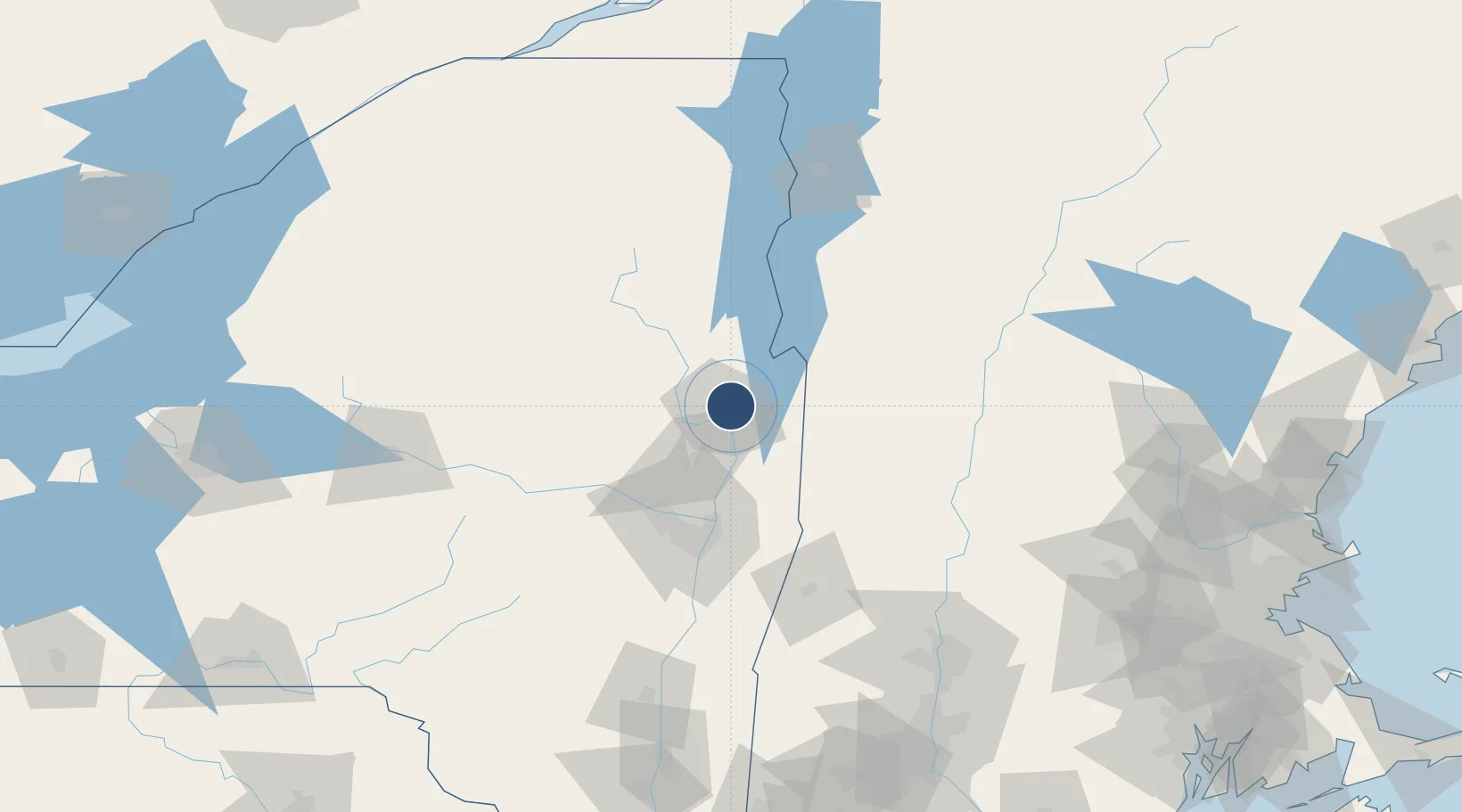
43.3412°, -73.6103°
5,000 ft
Longest runway
2
Runways
328 ft
Elevation

Runway & Layout

Floyd Bennett Memorial Airport runway & taxiway layout
Runway & taxiway layout — OpenStreetMap (ODbL) / OurAirports

Radio Frequencies

ASOS
119.25 MHz
A/D
125 MHz
ALBANY APP/DEP
RDO
122.2 MHz
BURLINGTON RDO
UNIC
123 MHz
CTAF/UNICOM
OurAirports

Navaids

GF NDB Ganse 209 kHz
GFL VORTAC Glens Falls 110.20 MHz
OurAirports

Runways · 2

RunwayDimensions SurfaceTrue headingLit
01/19 5,000 × 150ft Asphalt 358°
12/30 3,999 × 100ft Asphalt 110°
OurAirports

Airport Specifications

IATA code
GFL
OurAirports
ICAO code
KGFL
OurAirports
Airport class
Medium airport
OurAirports
Scheduled service
No
OurAirports
Runway surface
Asphalt
OurAirports
Served city
Glens Falls
OurAirports

Location

Location of KGFL
Natural Earth 10m (public domain) · New York · KGFL · 43.34, -73.61GoogleOSMYandex

Nearby Logistics Neighbours

Airports
  1. 1Rutland - Southern Vermont Regional Airport57 km
  2. 2Schenectady County Airport60 km
  3. 3Albany International Airport68 km
  4. 4Lebanon Municipal Airport110 km
  5. 5Dillant Hopkins Airport119 km
Nearest neighbours — logibook spatial index (haversine) over the source coordinates
Cities
  1. 1Lake George13 km
  2. 2Gansevoort18 km
  3. 3Hartford18 km
  4. 4Corinth21 km
  5. 5Hebron22 km
Nearest neighbours — logibook spatial index (haversine) over the source coordinates
Ports
  1. 1Troy68 km
  2. 2Albany78 km
  3. 3Rensselaer78 km
  4. 4Catskill127 km
  5. 5Kingston159 km
Nearest neighbours — logibook spatial index (haversine) over the source coordinates
Trade Zones
  1. 1FTZ No. 121 Albany72 km
  2. 2FTZ No. 268 Brattleboro98 km
  3. 3FTZ No. 201 Holyoke144 km
  4. 4FTZ No. 071 Windsor Locks176 km
  5. 5FTZ No. 109 Watertown197 km
Nearest neighbours — logibook spatial index (haversine) over the source coordinates
DatabookThe Record of Consolidated Knowledge
United States beyond logistics?
Browse databook

All Sources

AirportsOurAirports
Public domain
Portsthe NGA World Port Index
Public domain (US gov)
LocationsUN/LOCODE
UN/LOCODE — free
Trade Zonesthe World Bank SEZ database
CC BY 4.0
Trade ZonesOpen Zone Map
CC BY
InfrastructureOpenStreetMap
ODbL 1.0
← United States airports