Transport Functions
Rail
Road
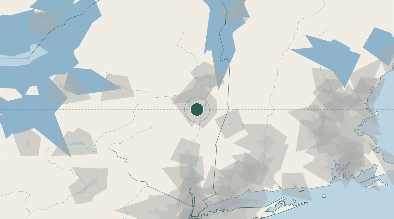
Hub Profile
Place type
Populated place
Region
New York
Population
7,906
Time zone
America/New_York
Elevation
95 m
Location
Nearby Logistics Neighbours
Cities
- 1Maywood, Albany3 km
- 2Loudonville7 km
- 3Albany10 km
- 4Troy12 km
- 5Rotterdam13 km
Ports
- 1Albany10 km
- 2Rensselaer10 km
- 3Troy11 km
- 4Catskill56 km
- 5Kingston88 km
Airports
Trade Zones
- 1FTZ No. 121 Albany1 km
- 2FTZ No. 268 Brattleboro102 km
- 3FTZ No. 201 Holyoke107 km
- 4FTZ No. 071 Windsor Locks132 km
- 5FTZ No. 037 Orange County173 km
DatabookThe Record of Consolidated Knowledge
United States beyond logistics?