Transport Functions
Port
Road
Multimodal
Hub Profile
Place type
Populated place
Region
New York
Time zone
America/New_York
Elevation
106 m
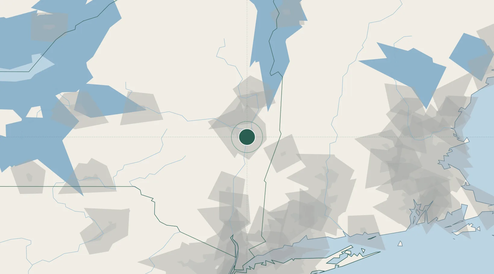
Location
Nearby Logistics Neighbours
Cities
- 1Troy6 km
- 2Colonie7 km
- 3Albany8 km
- 4Maywood, Albany10 km
- 5Averill Park18 km
Ports
- 1Troy6 km
- 2Albany6 km
- 3Rensselaer6 km
- 4Catskill54 km
- 5Kingston87 km
Airports
Trade Zones
- 1FTZ No. 121 Albany6 km
- 2FTZ No. 268 Brattleboro95 km
- 3FTZ No. 201 Holyoke100 km
- 4FTZ No. 071 Windsor Locks126 km
- 5FTZ No. 162 New Haven169 km
DatabookThe Record of Consolidated Knowledge
United States beyond logistics?