UN/LOCODE hub · United States
USALB

Albany

42.7705°, -73.7336°
101,228
Population
2
Transport functions

Transport Functions

Port
Airport
Albany is also a profiled seaport →
UN/LOCODE

Hub Profile

Place type
Regional capital
GeoNames
Region
New York
GeoNames
Population
101,228
GeoNames
Time zone
America/New_York
GeoNames
Elevation
45 m
GeoNames
Logistics facilities
2
UN/LOCODE

Location

Location of USALB
Natural Earth 10m (public domain) · New York · USALB · 42.77, -73.73GoogleOSMYandex

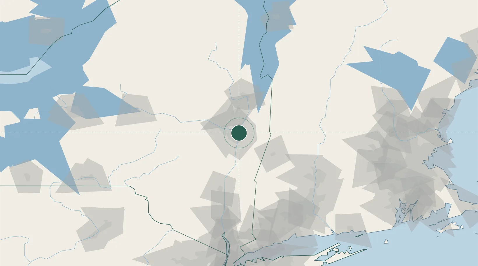
Nearby Logistics Neighbours

Cities
  1. 1Troy7 km
  2. 2Loudonville8 km
  3. 3Colonie10 km
  4. 4Maywood, Albany12 km
  5. 5Ballston Lake18 km
Nearest neighbours — logibook spatial index (haversine) over the source coordinates
Ports
  1. 1Troy5 km
  2. 2Rensselaer14 km
  3. 3Catskill62 km
  4. 4Kingston95 km
  5. 5Poughkeepsie120 km
Nearest neighbours — logibook spatial index (haversine) over the source coordinates
Airports
  1. 1Albany International Airport6 km
  2. 2Schenectady County Airport18 km
  3. 3Floyd Bennett Memorial Airport64 km
  4. 4Rutland - Southern Vermont Regional Airport106 km
  5. 5Westfield-Barnes Regional Airport108 km
Nearest neighbours — logibook spatial index (haversine) over the source coordinates
Trade Zones
  1. 1FTZ No. 121 Albany9 km
  2. 2FTZ No. 268 Brattleboro93 km
  3. 3FTZ No. 201 Holyoke104 km
  4. 4FTZ No. 071 Windsor Locks130 km
  5. 5FTZ No. 162 New Haven176 km
Nearest neighbours — logibook spatial index (haversine) over the source coordinates
DatabookThe Record of Consolidated Knowledge
United States beyond logistics?
Browse databook

All Sources

LocationsUN/LOCODE
UN/LOCODE — free
LocationsGeoNames
CC BY 4.0
Portsthe NGA World Port Index
Public domain (US gov)
AirportsOurAirports
Public domain
Trade Zonesthe World Bank SEZ database
CC BY 4.0
Trade ZonesOpen Zone Map
CC BY
← United States locations