Channel & Berth Profile
Pilotage, Tugs & Services
Pilotage compulsoryYES
Tug assistanceYES
Potable waterYES
Diesel bunkersYES
MedicalYES
Facilities & Capabilities
Container—
Ro-Ro—
Liquid bulk—
Dry bulk—
Oil terminal—
Break bulk—
Dry dock—
RepairsNO
BunkeringYES
Rail linkYES
Dangerous cargo—
ISPS security—
Harbour Specifications
Harbour size
Very Small
Harbour type
River (Natural)
Shelter
Good
Water body
North Atlantic Ocean
Tidal range
1.5 m
Overhead limit
Yes
Pilotage
Yes
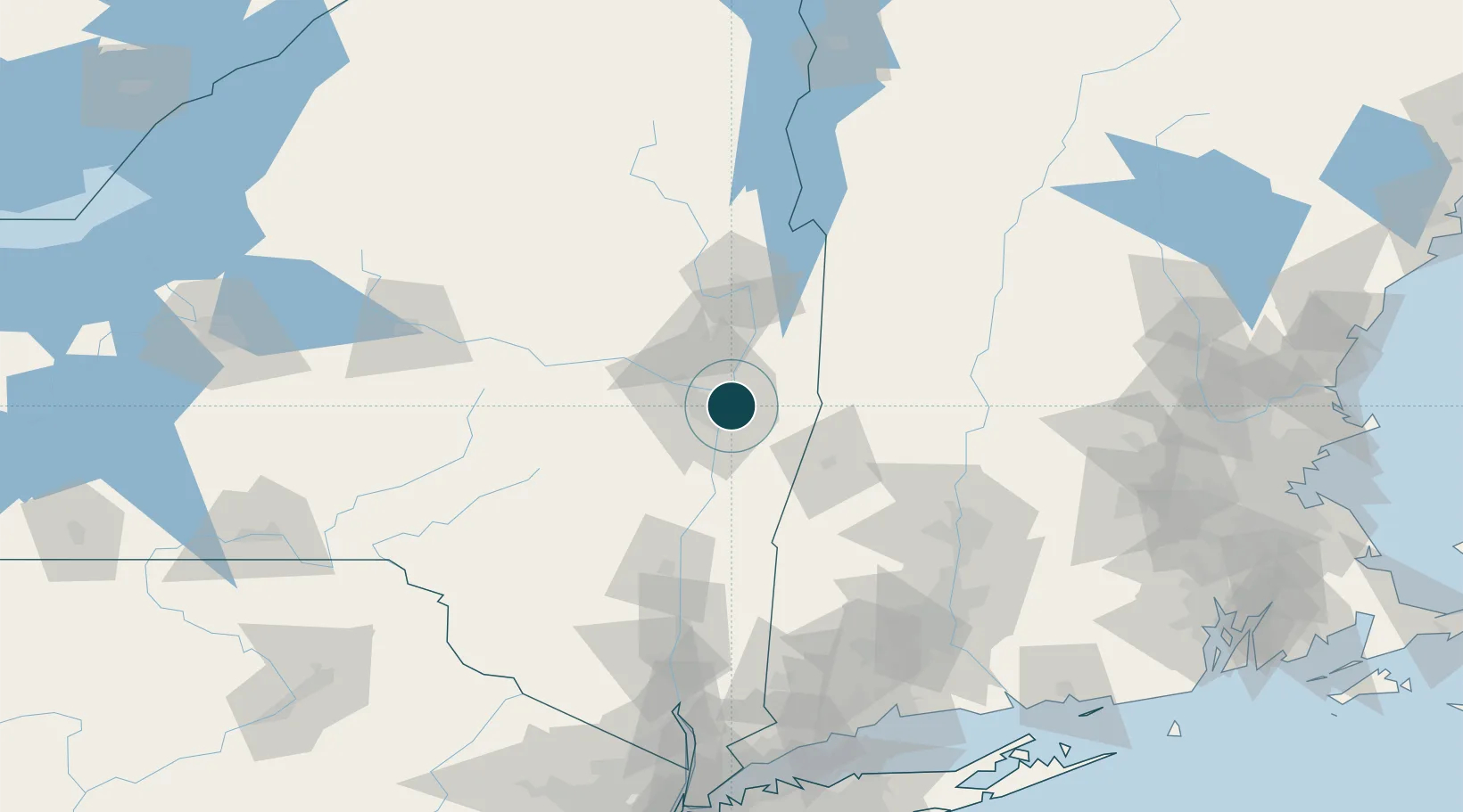
Location
Nearby Logistics Neighbours
Ports
- 1Albany10 km
- 2Rensselaer10 km
- 3Catskill59 km
- 4Kingston92 km
- 5Poughkeepsie117 km
Cities
- 1Albany5 km
- 2Loudonville6 km
- 3Colonie11 km
- 4Maywood, Albany14 km
- 5Averill Park17 km
Airports
Trade Zones
- 1FTZ No. 121 Albany10 km
- 2FTZ No. 268 Brattleboro91 km
- 3FTZ No. 201 Holyoke99 km
- 4FTZ No. 071 Windsor Locks125 km
- 5FTZ No. 162 New Haven171 km
DatabookThe Record of Consolidated Knowledge
United States beyond logistics?