Large airport · United States
Albany International AirportKALB
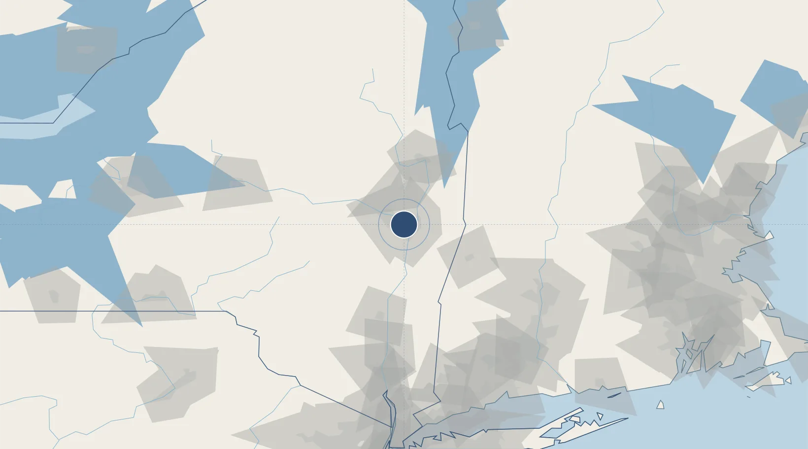
42.7483°, -73.8017°
8,500 ft
Longest runway
2
Runways
285 ft
Elevation
Runway & Layout

Radio Frequencies
ATIS
120.45 MHz
TWR
119.5 MHz
GND
121.7 MHz
CLD
127.5 MHz
CLNC DEL
A/D
118.05 MHz
APP/DEP
A/D
132.825 MHz
APP/DEP
OPS
41 MHz
ARNG OPS
RDO
122.2 MHz
BURLINGTON RDO
UNIC
122.95 MHz
UNICOM
Navaids
AL NDB Hawky 219 kHz
ALB VORTAC Albany 115.30 MHz
Runways · 2
| Runway | Dimensions | Surface | True heading | Lit |
|---|---|---|---|---|
| 01/19 | 8,500 × 150ft | Asphalt | 358° | ✓ |
| 10/28 | 7,200 × 150ft | Asphalt | 088° | ✓ |
Airport Specifications
IATA code
ALB
ICAO code
KALB
Airport class
Large airport
Scheduled service
Yes
Runway surface
Asphalt
Served city
Albany
Location
Nearby Logistics Neighbours
Airports
Cities
- 1Colonie4 km
- 2Maywood, Albany6 km
- 3Albany6 km
- 4Loudonville7 km
- 5Troy10 km
Ports
- 1Troy9 km
- 2Albany12 km
- 3Rensselaer12 km
- 4Catskill59 km
- 5Kingston92 km
Trade Zones
- 1FTZ No. 121 Albany4 km
- 2FTZ No. 268 Brattleboro99 km
- 3FTZ No. 201 Holyoke107 km
- 4FTZ No. 071 Windsor Locks132 km
- 5FTZ No. 162 New Haven176 km
DatabookThe Record of Consolidated Knowledge
United States beyond logistics?