Medium airport · United States

Schenectady County AirportKSCH
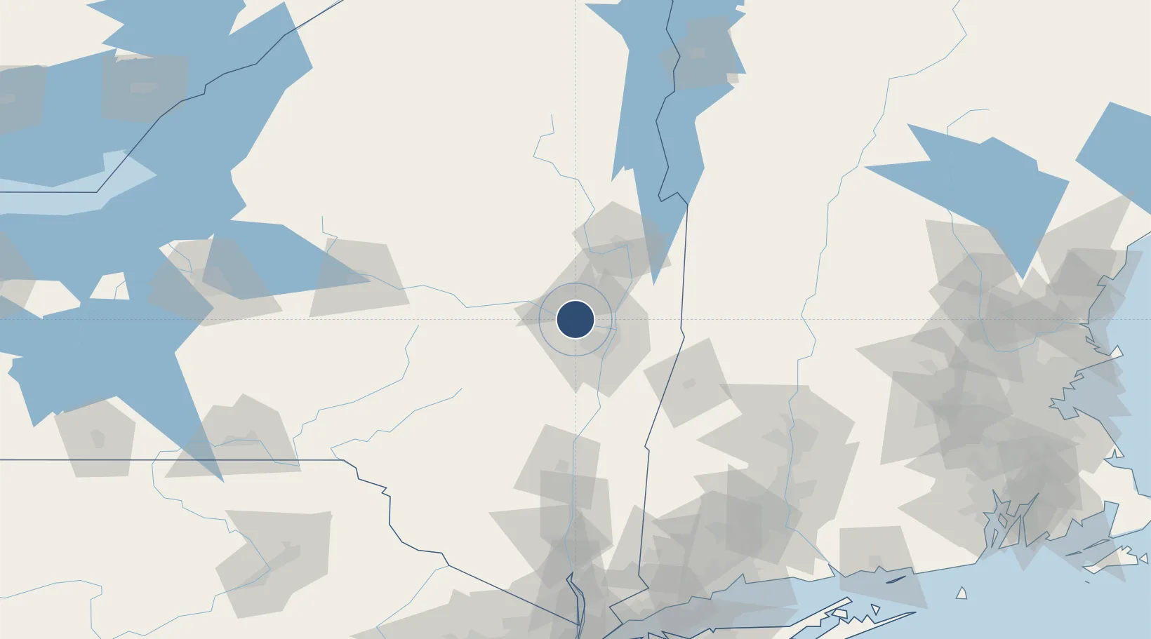
42.8525°, -73.9289°
7,001 ft
Longest runway
2
Runways
378 ft
Elevation

Runway & Layout

Schenectady County Airport runway & taxiway layout
Runway & taxiway layout — OpenStreetMap (ODbL) / OurAirports

Radio Frequencies

AWOS
119.275 MHz
AWOS 3
TWR
121.3 MHz
CTAF
121.3 MHz
A/D
118.05 MHz
ALBANY APP/DEP
OPS
140.45 MHz
ANG OPS COMD POST
UNIC
122.95 MHz
UNICOM
OurAirports

Navaids

HEU NDB Hunter 356 kHz
OurAirports

Runways · 2

RunwayDimensions SurfaceTrue headingLit
04/22 7,001 × 150ft Asphalt 026°
10/28 4,850 × 150ft Asphalt 088°
OurAirports

Airport Specifications

IATA code
SCH
OurAirports
ICAO code
KSCH
OurAirports
Airport class
Medium airport
OurAirports
Scheduled service
No
OurAirports
Runway surface
Asphalt
OurAirports
Served city
Schenectady
OurAirports

Location

Location of KSCH
Natural Earth 10m (public domain) · New York · KSCH · 42.85, -73.93GoogleOSMYandex

Nearby Logistics Neighbours

Airports
  1. 1Albany International Airport16 km
  2. 2Floyd Bennett Memorial Airport60 km
  3. 3Rutland - Southern Vermont Regional Airport109 km
  4. 4Westfield-Barnes Regional Airport126 km
  5. 5Griffiss International Airport127 km
Nearest neighbours — logibook spatial index (haversine) over the source coordinates
Cities
  1. 1Glenville5 km
  2. 2Ballston Lake7 km
  3. 3Rotterdam8 km
  4. 4Maywood, Albany14 km
  5. 5Colonie17 km
Nearest neighbours — logibook spatial index (haversine) over the source coordinates
Ports
  1. 1Troy23 km
  2. 2Albany27 km
  3. 3Rensselaer27 km
  4. 4Catskill71 km
  5. 5Kingston102 km
Nearest neighbours — logibook spatial index (haversine) over the source coordinates
Trade Zones
  1. 1FTZ No. 121 Albany18 km
  2. 2FTZ No. 268 Brattleboro108 km
  3. 3FTZ No. 201 Holyoke122 km
  4. 4FTZ No. 071 Windsor Locks148 km
  5. 5FTZ No. 037 Orange County182 km
Nearest neighbours — logibook spatial index (haversine) over the source coordinates
DatabookThe Record of Consolidated Knowledge
United States beyond logistics?
Browse databook

All Sources

AirportsOurAirports
Public domain
Portsthe NGA World Port Index
Public domain (US gov)
LocationsUN/LOCODE
UN/LOCODE — free
Trade Zonesthe World Bank SEZ database
CC BY 4.0
Trade ZonesOpen Zone Map
CC BY
InfrastructureOpenStreetMap
ODbL 1.0
← United States airports