UN/LOCODE hub · United States
USMQF

Maywood, Albany

42.7333°, -73.8667°
2
Transport functions

Transport Functions

Road
Multimodal
UN/LOCODE

Hub Profile

Region
NY
GeoNames

Location

Location of USMQF
Natural Earth 10m (public domain) · NY · USMQF · 42.73, -73.87GoogleOSMYandex

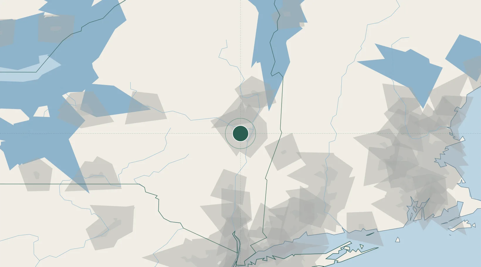
Nearby Logistics Neighbours

Cities
  1. 1Colonie3 km
  2. 2Rotterdam10 km
  3. 3Loudonville10 km
  4. 4Albany12 km
  5. 5Troy15 km
Nearest neighbours — logibook spatial index (haversine) over the source coordinates
Ports
  1. 1Albany13 km
  2. 2Rensselaer13 km
  3. 3Troy14 km
  4. 4Catskill58 km
  5. 5Kingston89 km
Nearest neighbours — logibook spatial index (haversine) over the source coordinates
Airports
  1. 1Albany International Airport6 km
  2. 2Schenectady County Airport14 km
  3. 3Floyd Bennett Memorial Airport71 km
  4. 4Westfield-Barnes Regional Airport114 km
  5. 5Rutland - Southern Vermont Regional Airport116 km
Nearest neighbours — logibook spatial index (haversine) over the source coordinates
Trade Zones
  1. 1FTZ No. 121 Albany5 km
  2. 2FTZ No. 268 Brattleboro104 km
  3. 3FTZ No. 201 Holyoke110 km
  4. 4FTZ No. 071 Windsor Locks135 km
  5. 5FTZ No. 037 Orange County173 km
Nearest neighbours — logibook spatial index (haversine) over the source coordinates
DatabookThe Record of Consolidated Knowledge
United States beyond logistics?
Browse databook

All Sources

LocationsUN/LOCODE
UN/LOCODE — free
Portsthe NGA World Port Index
Public domain (US gov)
AirportsOurAirports
Public domain
Trade Zonesthe World Bank SEZ database
CC BY 4.0
Trade ZonesOpen Zone Map
CC BY
← United States locations