Transport Functions
Port
Road
Hub Profile
Place type
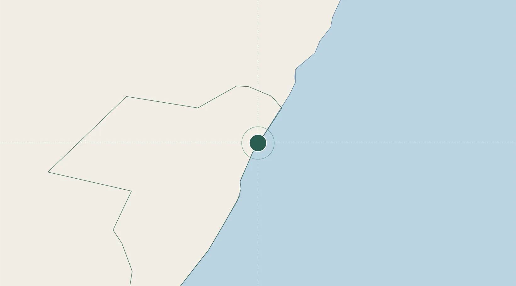
Populated place
Region
Mudug
Time zone
Africa/Mogadishu
Elevation
3 m
Location
Nearby Logistics Neighbours
Airports
- 1Garowe Airport189 km
- 2Galcaio Airport206 km
- 3Bender Qassim International Airport483 km
- 4Beledweyne Airport511 km
- 5Shilavo Airport512 km
Trade Zones
- 1Berbera Economic Free Zone614 km
- 2Aden Free Zone809 km
- 3Damerjog Industrial Development Free Zone837 km
- 4Djibouti Free Zone853 km
- 5Touchroad Djibouti Special Economic Zone854 km
DatabookThe Record of Consolidated Knowledge
Somalia beyond logistics?