UN/LOCODE hub · Ethiopia
ETOKA

Kembolcha

7.5000°, 41.1833°
1
Transport functions

Transport Functions

Multimodal
UN/LOCODE

Hub Profile

Place type
Populated place
GeoNames
Region
Oromiya
GeoNames
Time zone
Africa/Addis_Ababa
GeoNames
Elevation
1,131 m
GeoNames

Location

Location of ETOKA
Natural Earth 10m (public domain) · Oromiya · ETOKA · 7.50, 41.18GoogleOSMYandex

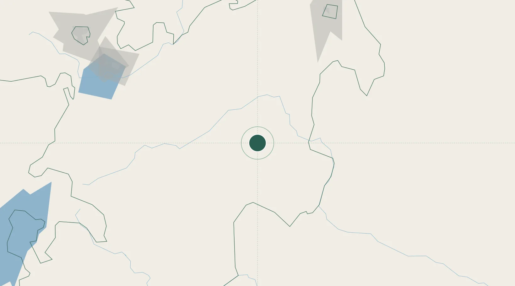
Nearby Logistics Neighbours

Cities
  1. 1Mojo Dry Port255 km
  2. 2Mojo258 km
  3. 3Dubti471 km
  4. 4Damerjog494 km
  5. 5Camp Lemonier497 km
Nearest neighbours — logibook spatial index (haversine) over the source coordinates
Ports
  1. 1Doraleh502 km
  2. 2Djibouti504 km
  3. 3Berbera534 km
  4. 4Assab635 km
  5. 5Al Mukha685 km
Nearest neighbours — logibook spatial index (haversine) over the source coordinates
Airports
  1. 1Aba Tenna Dejazmach Yilma International Airport247 km
  2. 2Harar Meda Airport275 km
  3. 3Gerad Wilwal International Airport279 km
  4. 4Addis Ababa Bole International Airport310 km
  5. 5Hawassa International Airport311 km
Nearest neighbours — logibook spatial index (haversine) over the source coordinates
Trade Zones
  1. 1Adama Industrial Park236 km
  2. 2Adama Special Economic Zone243 km
  3. 3Dire Dawi Industrial Development Zone246 km
  4. 4CCECC Dire Dawa Industrial Park246 km
  5. 5Arerti Industrial Park251 km
Nearest neighbours — logibook spatial index (haversine) over the source coordinates
DatabookThe Record of Consolidated Knowledge
Ethiopia beyond logistics?
Browse databook

All Sources

LocationsUN/LOCODE
UN/LOCODE — free
Portsthe NGA World Port Index
Public domain (US gov)
AirportsOurAirports
Public domain
Trade Zonesthe World Bank SEZ database
CC BY 4.0
Trade ZonesOpen Zone Map
CC BY
← Ethiopia locations