Export Processing Zone · Ethiopia

CCECC Dire Dawa Industrial Park Active
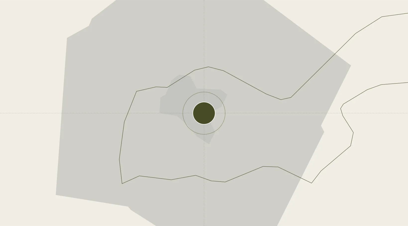
9.6007°, 41.8840°
150 ha
Zone area
258.6 km
Nearest port
4.1 km
Nearest airport

Gateway access

Nearest neighbours — logibook spatial index (haversine) over the source coordinates

Zone profile

Zone type
Export Processing Zone
Open Zone Map
Region
Dire Dawa
Open Zone Map
Status
Active
Open Zone Map
Management
Public-Private Partnership
Open Zone Map
Operator
China Civil Engineering Construction Corporation
Open Zone Map
Legal framework
Regulation No 417/2017 Industrial Parks Council of Ministers Regulation
Open Zone Map

Location

Location of ozm-1916
Natural Earth 10m (public domain) · Dire Dawa · ozm-1916 · 9.60, 41.88GoogleOSMYandex

Nearby Logistics Neighbours

Ports
  1. 1Doraleh259 km
  2. 2Djibouti261 km
  3. 3Berbera356 km
  4. 4Assab390 km
  5. 5Al Mukha439 km
Nearest neighbours — logibook spatial index (haversine) over the source coordinates
Airports
  1. 1Aba Tenna Dejazmach Yilma International Airport4 km
  2. 2Gerad Wilwal International Airport117 km
  3. 3Egal International Airport241 km
  4. 4Djibouti-Ambouli Airport258 km
  5. 5Semera Airport262 km
Nearest neighbours — logibook spatial index (haversine) over the source coordinates
Cities
  1. 1Kembolcha246 km
  2. 2Dubti253 km
  3. 3Damerjog253 km
  4. 4Camp Lemonier255 km
  5. 5Djibouti259 km
Nearest neighbours — logibook spatial index (haversine) over the source coordinates
Trade Zones
  1. 1Dire Dawi Industrial Development Zone9 km
  2. 2Damerjog Industrial Development Free Zone256 km
  3. 3UKAB Holdings Free Zone256 km
  4. 4Touchroad Djibouti Special Economic Zone258 km
  5. 5Djibouti Free Zone259 km
Nearest neighbours — logibook spatial index (haversine) over the source coordinates
DatabookThe Record of Consolidated Knowledge
Ethiopia beyond logistics?
Browse databook

All Sources

Trade ZonesOpen Zone Map
CC BY
Portsthe NGA World Port Index
Public domain (US gov)
AirportsOurAirports
Public domain
LocationsUN/LOCODE
UN/LOCODE — free
← Ethiopia trade zones