Industrial Development Zone · Ethiopia

Dire Dawi Industrial Development Zone
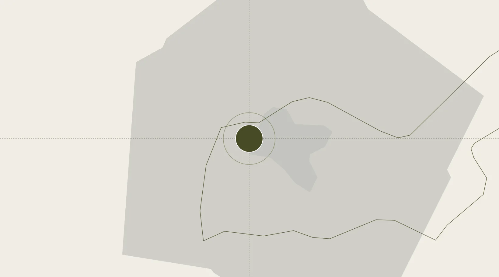
9.6239°, 41.8041°
261.0 km
Nearest port
5.6 km
Nearest airport

Gateway access

Nearest neighbours — logibook spatial index (haversine) over the source coordinates

Zone profile

Zone type
Industrial Development Zone
the World Bank SEZ database
Region
Dire Dawa
the World Bank SEZ database
Established
In development
the World Bank SEZ database
Management
State-owned enterprise
the World Bank SEZ database
Operator
Industrial Parks Development Corporation
the World Bank SEZ database
Regulatory authority
Ethiopian Investment Commission (EIC)
the World Bank SEZ database
Legal framework
Industrial Parks Proclamation No.886/2015
the World Bank SEZ database

Location

Location of ETH6
Natural Earth 10m (public domain) · Dire Dawa · ETH6 · 9.62, 41.80GoogleOSMYandex

Fiscal & incentives

Corporate tax
30%
the World Bank SEZ database
Tax relief
100% exempt
the World Bank SEZ database
Relief duration
8 to 10 years
the World Bank SEZ database
VAT
No exemption
the World Bank SEZ database
Import duty (inputs)
100% exempt
the World Bank SEZ database
Import duty (capex)
100% exempt
the World Bank SEZ database
Profit repatriation
No exemption
the World Bank SEZ database
Capital gains
No exemption
the World Bank SEZ database
Withholding tax
No exemption
the World Bank SEZ database
Min. investment
None
the World Bank SEZ database
Min. export
0%
the World Bank SEZ database
Employment incentive
No exemption
the World Bank SEZ database
Developer incentive
Yes
the World Bank SEZ database

Nearby Logistics Neighbours

Ports
  1. 1Doraleh261 km
  2. 2Djibouti263 km
  3. 3Berbera364 km
  4. 4Assab389 km
  5. 5Al Mukha440 km
Nearest neighbours — logibook spatial index (haversine) over the source coordinates
Airports
  1. 1Aba Tenna Dejazmach Yilma International Airport6 km
  2. 2Gerad Wilwal International Airport126 km
  3. 3Egal International Airport250 km
  4. 4Semera Airport256 km
  5. 5Djibouti-Ambouli Airport260 km
Nearest neighbours — logibook spatial index (haversine) over the source coordinates
Cities
  1. 1Kembolcha246 km
  2. 2Dubti247 km
  3. 3Damerjog256 km
  4. 4Camp Lemonier257 km
  5. 5Djibouti261 km
Nearest neighbours — logibook spatial index (haversine) over the source coordinates
Trade Zones
  1. 1CCECC Dire Dawa Industrial Park9 km
  2. 2Debre Berhan Industrial Park256 km
  3. 3UKAB Holdings Free Zone258 km
  4. 4Damerjog Industrial Development Free Zone259 km
  5. 5Touchroad Djibouti Special Economic Zone261 km
Nearest neighbours — logibook spatial index (haversine) over the source coordinates
DatabookThe Record of Consolidated Knowledge
Ethiopia beyond logistics?
Browse databook

All Sources

Trade Zonesthe World Bank SEZ database
CC BY 4.0
Portsthe NGA World Port Index
Public domain (US gov)
AirportsOurAirports
Public domain
LocationsUN/LOCODE
UN/LOCODE — free
← Ethiopia trade zones