Runway & Layout

Airport Specifications
IATA code
HIL
ICAO code
HASL
Airport class
Small airport
Scheduled service
Yes
Served city
Shilavo
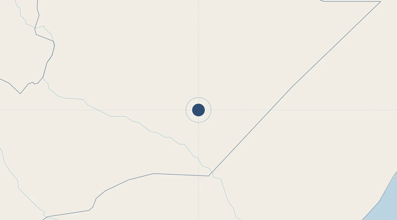
Location
Nearby Logistics Neighbours
Airports
- 1Kebri Dahar Airport93 km
- 2Gode Airport132 km
- 3Beledweyne Airport155 km
- 4Galcaio Airport307 km
- 5Egal International Airport389 km
Trade Zones
DatabookThe Record of Consolidated Knowledge
Ethiopia beyond logistics?