Small airport · Somalia

Beledweyne AirportHCMN
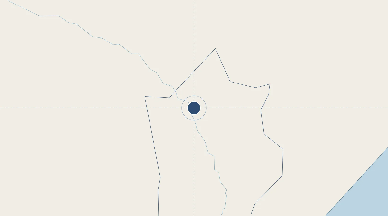
4.7670°, 45.2388°
7,218 ft
Longest runway
1
Runways
559 ft
Elevation

Runway & Layout

Beledweyne Airport runway & taxiway layout
Runway & taxiway layout — OpenStreetMap (ODbL) / OurAirports

Runways · 1

RunwayDimensions SurfaceTrue headingLit
04/22 7,218 × —ft Gravel
OurAirports

Airport Specifications

IATA code
BLW
OurAirports
ICAO code
HCMN
OurAirports
Airport class
Small airport
OurAirports
Scheduled service
Yes
OurAirports
Runway surface
Gravel
OurAirports
Served city
Beledweyne
OurAirports

Location

Location of HCMN
Natural Earth 10m (public domain) · Hiiraan · HCMN · 4.77, 45.24GoogleOSMYandex

Nearby Logistics Neighbours

Airports
  1. 1Shilavo Airport155 km
  2. 2Gode Airport225 km
  3. 3Kebri Dahar Airport245 km
  4. 4Aden Adde International Airport306 km
  5. 5K50 Airstrip308 km
Nearest neighbours — logibook spatial index (haversine) over the source coordinates
Cities
  1. 1Giohar225 km
  2. 2El Maan292 km
  3. 3Mogadishu305 km
  4. 4Garacad511 km
  5. 5Kembolcha542 km
Nearest neighbours — logibook spatial index (haversine) over the source coordinates
Ports
  1. 1Muqdisho304 km
  2. 2Marka343 km
  3. 3Berbera632 km
  4. 4Kismaayo644 km
  5. 5Djibouti794 km
Nearest neighbours — logibook spatial index (haversine) over the source coordinates
Trade Zones
  1. 1Berbera Economic Free Zone631 km
  2. 2CCECC Dire Dawa Industrial Park653 km
  3. 3Dire Dawi Industrial Development Zone660 km
  4. 4Adama Industrial Park777 km
  5. 5Damerjog Industrial Development Free Zone778 km
Nearest neighbours — logibook spatial index (haversine) over the source coordinates
DatabookThe Record of Consolidated Knowledge
Somalia beyond logistics?
Browse databook

All Sources

AirportsOurAirports
Public domain
Portsthe NGA World Port Index
Public domain (US gov)
LocationsUN/LOCODE
UN/LOCODE — free
Trade Zonesthe World Bank SEZ database
CC BY 4.0
Trade ZonesOpen Zone Map
CC BY
InfrastructureOpenStreetMap
ODbL 1.0
← Somalia airports