Transport Functions
Port
Road
Hub Profile
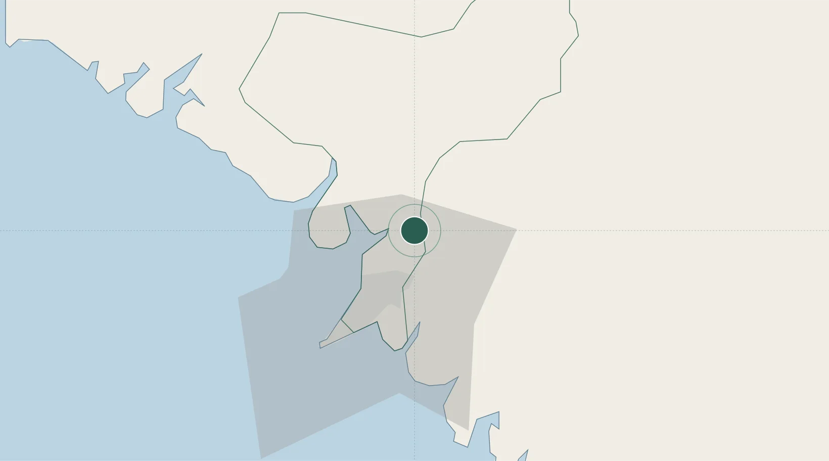
Place type
Provincial seat
Region
Kindia
Population
182,296
Time zone
Africa/Conakry
Elevation
19 m
Location
Nearby Logistics Neighbours
Cities
- 1Conakry30 km
- 2Conakry Eco38 km
- 3Boffa73 km
- 4Kindia77 km
- 5Bel-Air117 km
Airports
- 1Ahmed Sékou Touré International Airport26 km
- 2Lungi International Airport134 km
- 3Bo Airport280 km
- 4Yengema Airport299 km
- 5Kenema Airport331 km
Trade Zones
DatabookThe Record of Consolidated Knowledge
Guinea beyond logistics?