Transport Functions
Rail
Road
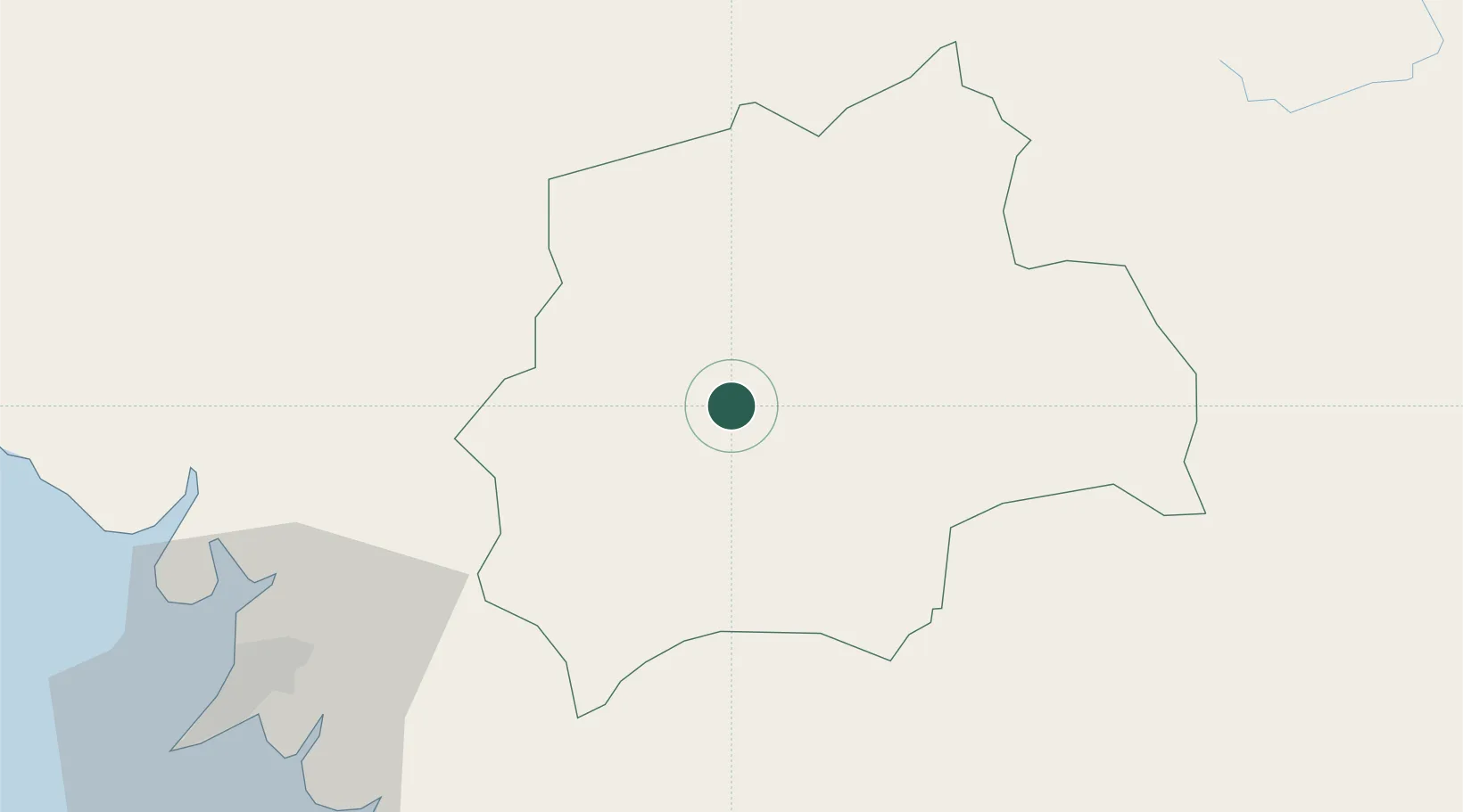
Hub Profile
Place type
Regional capital
Region
Kindia
Population
161,024
Time zone
Africa/Conakry
Elevation
415 m
Location
Nearby Logistics Neighbours
Cities
- 1Dubreka77 km
- 2Conakry104 km
- 3Conakry Eco111 km
- 4Boffa130 km
- 5Sangarédi158 km
Airports
- 1Ahmed Sékou Touré International Airport99 km
- 2Lungi International Airport164 km
- 3Yengema Airport255 km
- 4Bo Airport263 km
- 5Kédougou Airport289 km
DatabookThe Record of Consolidated Knowledge
Guinea beyond logistics?